
Survey & mapping, volumetrics, asset inspection and development monitoring — scoped and quoted per site.
View commercial services ↓Real estate, land, construction monitoring and roof inspections — clear packages and pricing.
View property services ↓Orthomosaics, DSM/DTM, contours and point clouds — captured with RTK positioning and delivered in your CAD/GIS formats.
Volume figures that survive an audit — cut/fill against design, month-on-month variance, stated confidence.
Zoom standoff inspection with no scaffolding or stoppage — GPS-tagged, severity-graded defect registers.
Orthomosaic overlays against design, progress reporting, and documentation for draw-downs and dispute defence.
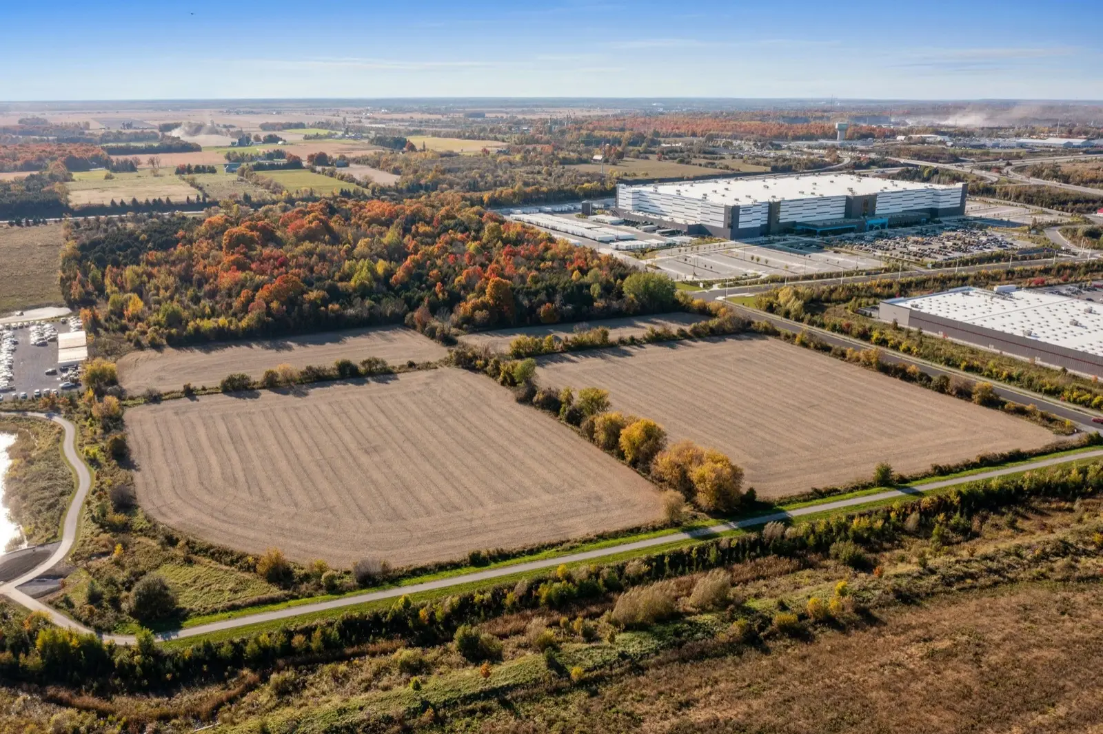
Boundary-aware aerial surveys of plots and parcels — elevation, access and surrounding context for buyers, developers and land sales.
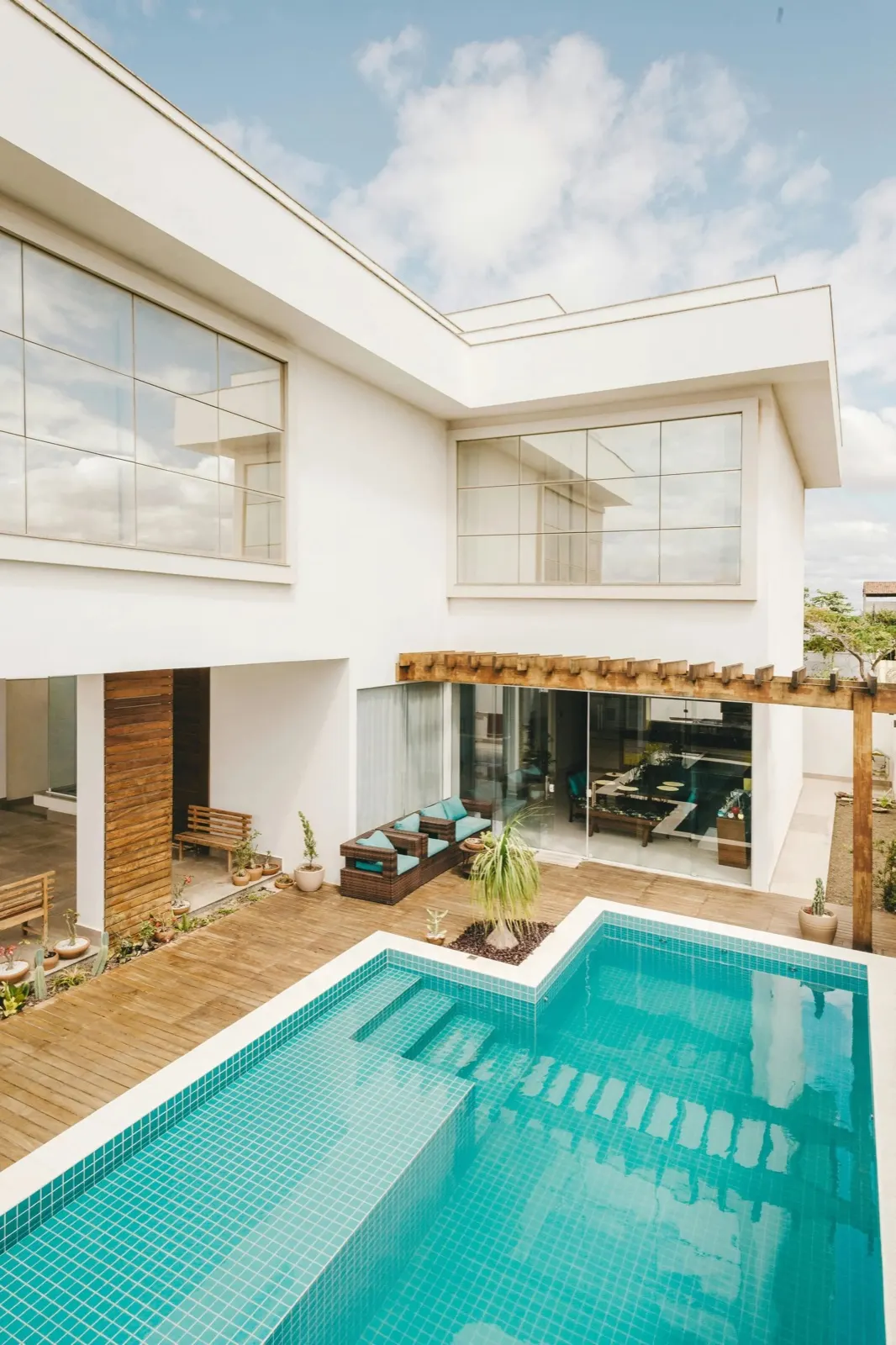
Cinematic stills and orbit reels that show a finished property at its best — hero shots your listings and brochures will keep reusing.
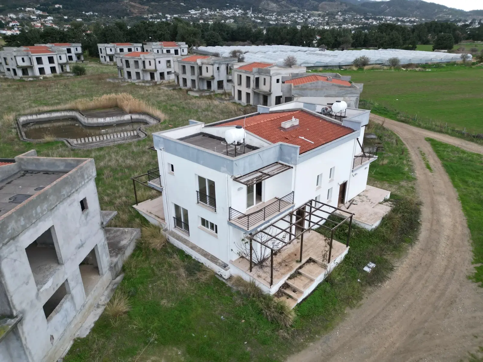
Real-time aerial imagery of your build — packaged for owners, builders, and overseas investors who depend on a clear picture.
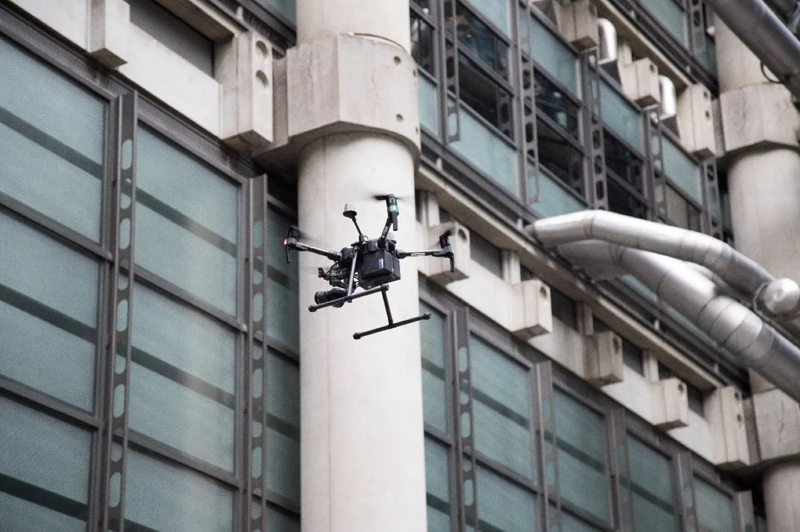
Safe, close-range aerial inspections that surface structural issues — fewer ladders, faster reports, and a clean visual record you can share.
From estate agents and developers to engineering firms, contractors and asset managers — teams that need aerial work again and again make us their regular partner. Property imagery or survey-grade data, booked, flown and delivered on turnaround, so it's ready when you are.
Regular volume,
regular savings.
Tell us how much work you turn over each month and we'll build a rate that works for both of us.
Interested in working together? Tell us a little about the site and the schedule — we'll come back within one working day with a proposal and a sample plan.