Tier 01
Single Flight
€129launch
€249
- 1 site visit
- 50+ progress aerial photos
- HD video footage
- 48–72h delivery (faster on request)
Best forOne-time progress check
Get a free quote →
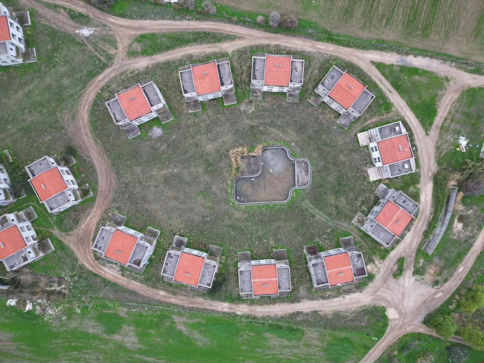 Showreel · Progress capture
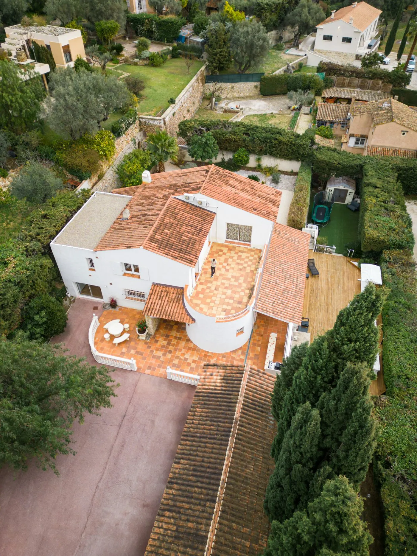
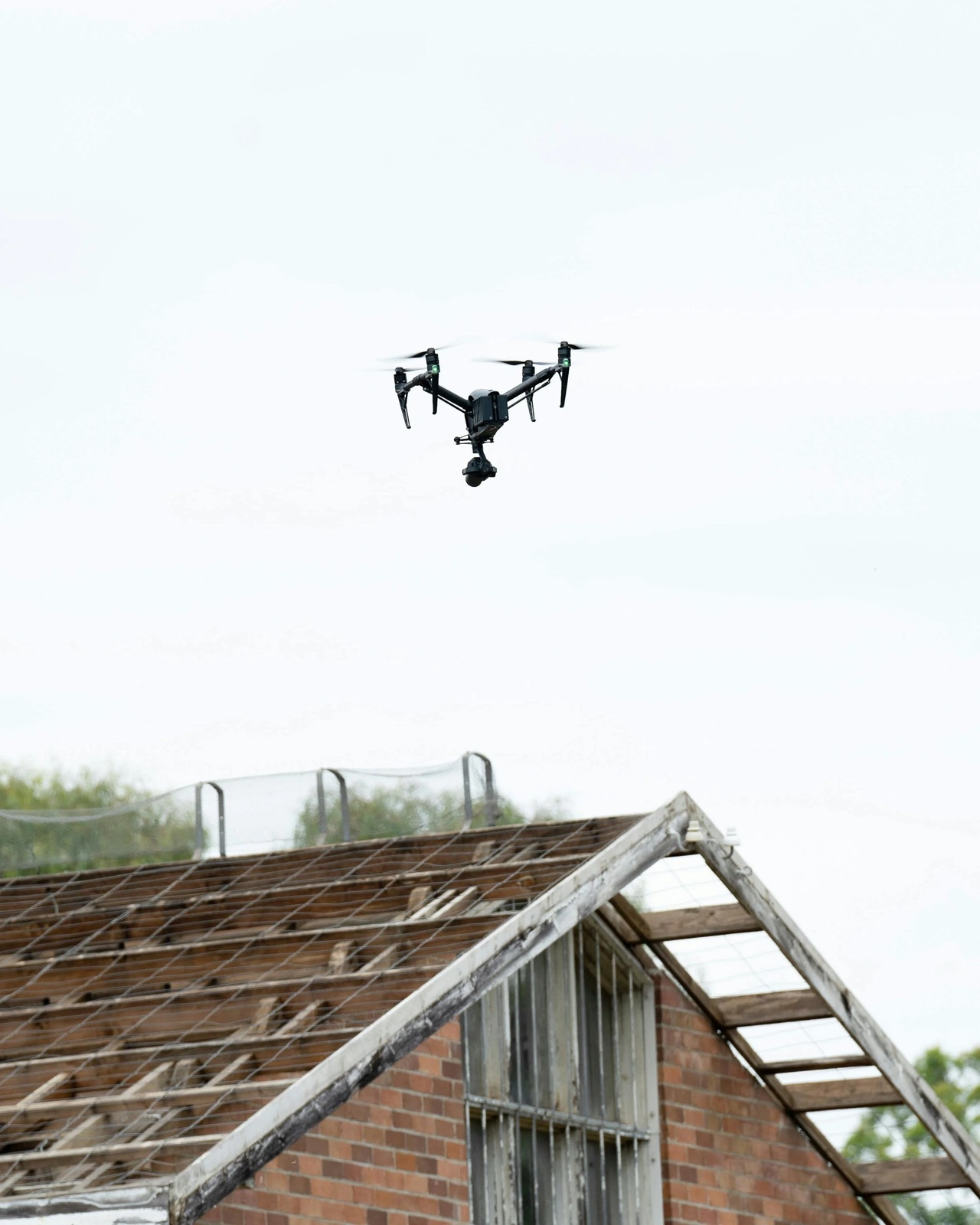
Scheduled progress aerials, photogrammetry 3D models and 360° walkthroughs — so you always know exactly where your project stands, without flying out to check.
A phone photo from the site foreman tells you almost nothing about real progress — or whether the schedule is slipping.
Driving out to check on every stage costs time you'd rather put into the project itself — and building from abroad makes it harder still.
A consistent aerial record keeps contractors accountable and settles disputes before they start.
If the imagery isn't what you hoped for, we'll re-fly at no cost until you're happy. Simple as that.
Get started by scheduling a consultation with us. We'll discuss your project's details and requirements to tailor our monitoring service to your needs.
We'll assess your construction site and plan the most effective drone flight paths to ensure we capture every essential detail — comprehensive, accurate and repeatable each visit.
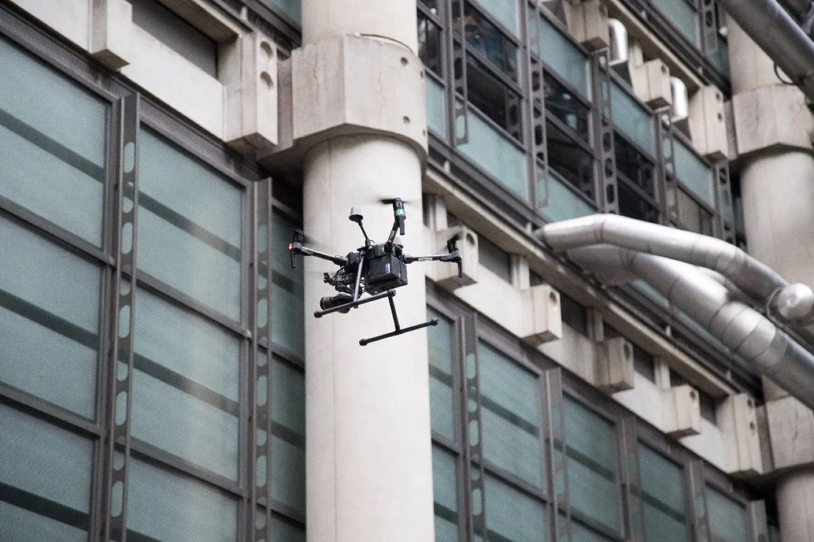
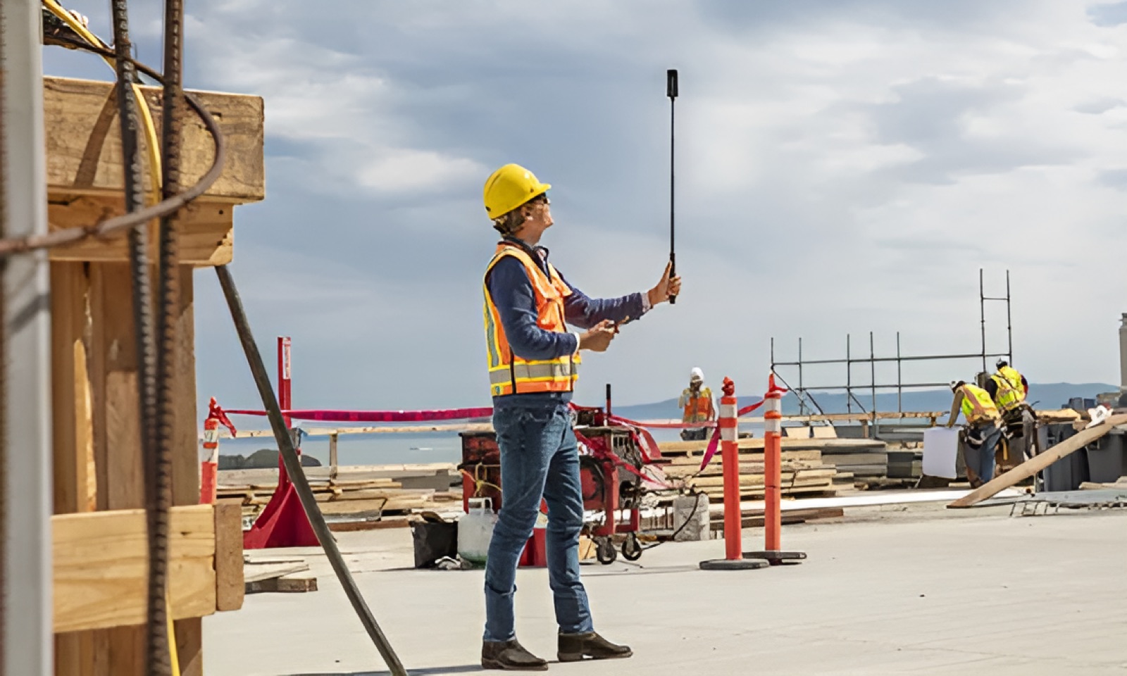
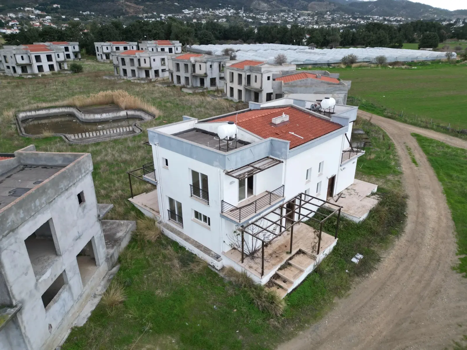
On the scheduled day, our team flies the site and captures high-resolution photos, video and — if requested — a 360° walkthrough and orbit for a full immersive record.
After the flight we process and organise everything for you. You'll receive a secure link to download all your visuals — photos, video and 3D models — through our online portal.
Once you've reviewed the data, reach out with any questions or feedback. We're here to make sure you have exactly the information you need and to make any adjustments.
Stay informed with regular updates — an orbit flyaround, a detailed 3D model, high-resolution photos and a 360° walk-around, on the cadence that suits your schedule.
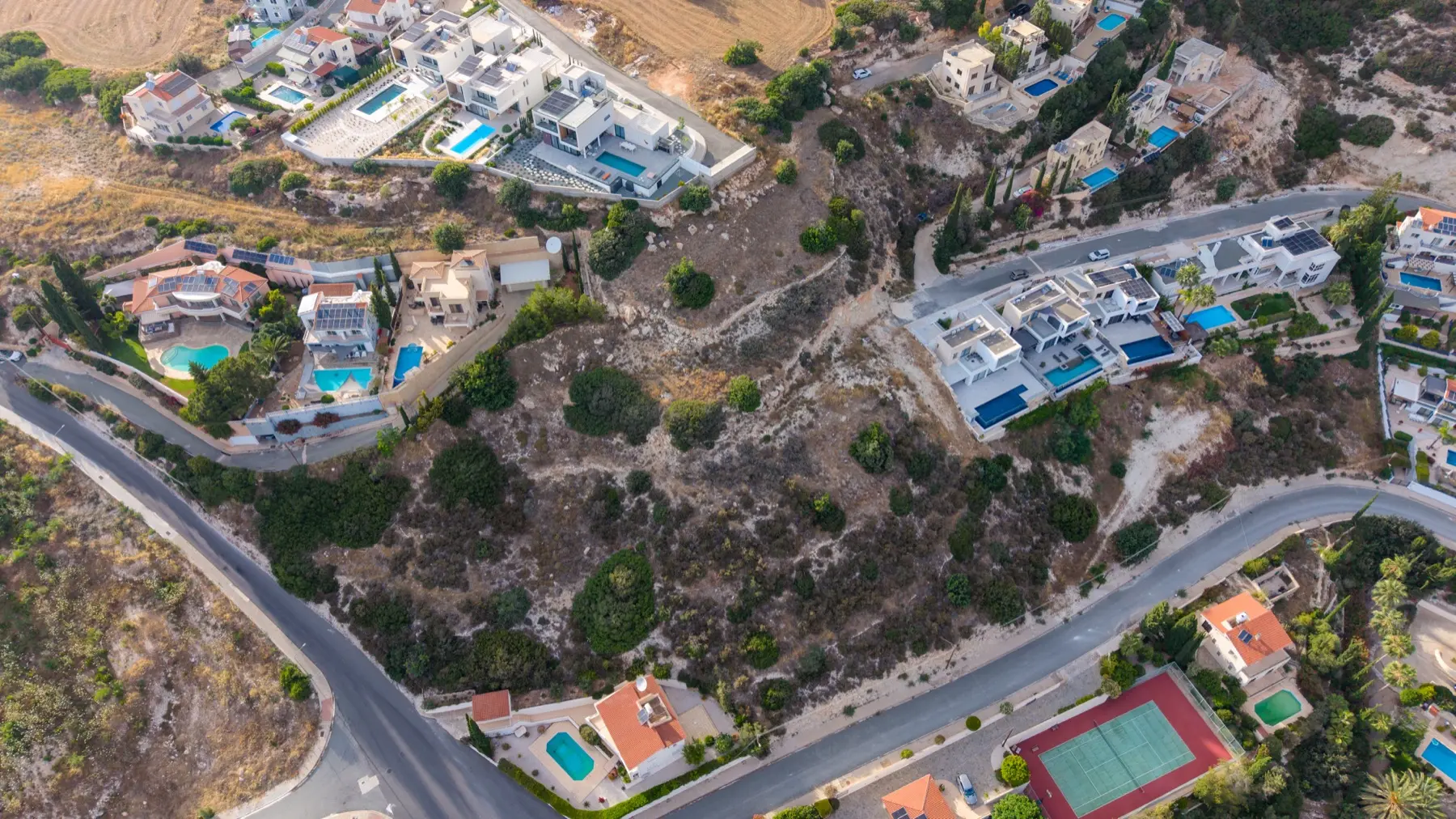
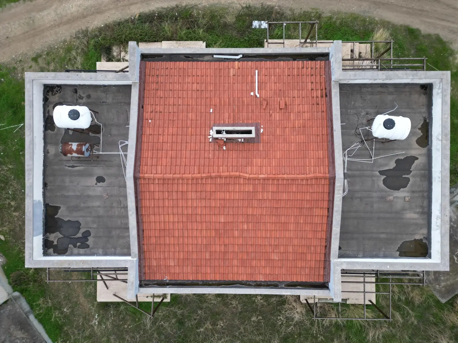
Using automated grid and orbit flights, we stitch hundreds of overlapping images into a photogrammetry-processed 3D model and orthomosaic of your entire site — accurate enough to measure distances, areas and earthwork volumes directly, and to compare progress month over month.
This package is scoped for visual progress tracking and stakeholder reporting — a high-quality 3D model and orthomosaic to follow the build and share with teams and investors. When you need measurable, verified accuracy, we also offer RTK survey & site mapping as a dedicated service. For legally binding figures, certification is signed off by a licensed land surveyor.
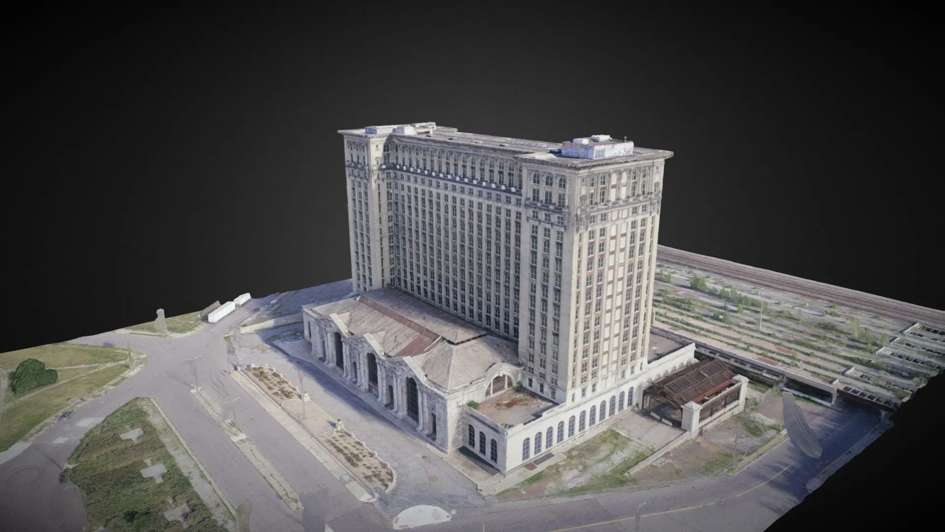 3D model · photogrammetry
360° orbit
3D model · photogrammetry
360° orbit
Monitor progress remotely and skip the frequent flights. High-resolution imagery gives you continuous oversight of your investment from anywhere — saving both time and money while keeping you fully in the loop.
Weekly, bi-weekly or monthly — you choose the cadence. You'll always have the latest view of your project, enabling prompt decisions and efficient management without chasing the site team.
High-resolution photos, video and 3D models capture every detail, so issues are spotted and addressed early — leading to smoother execution and higher-quality construction.
Time-stamped photo and video documentation gives you a clear record of your construction timeline — protecting your project from future disputes by serving as objective proof of progress.
Detailed visual reports keep every stakeholder aligned — architects, contractors and investors all working from the same up-to-date picture, for fewer misunderstandings and smoother delivery.
By reducing on-site visits and traditional inspection trips, you significantly lower your overall project costs — while maintaining a high standard of oversight throughout the build.
"Communication with Adam was easy, honest and very straightforward. The drone footage was excellent and exactly what I asked for. Highly recommended!"
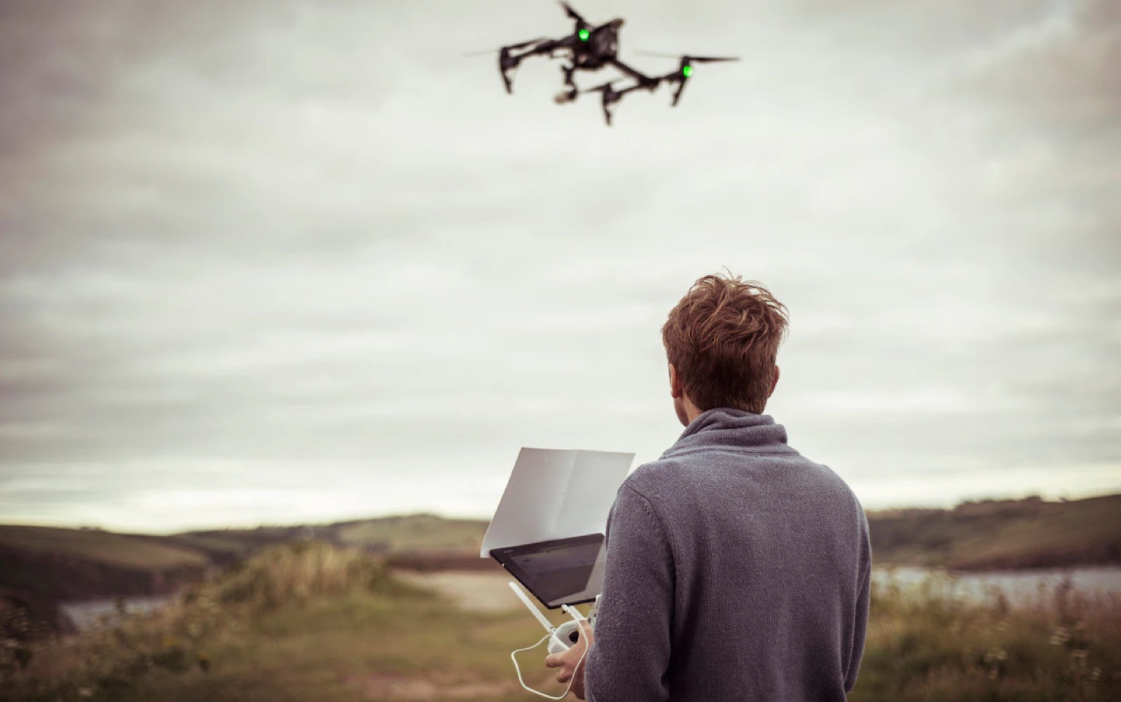
No call centres, no handoffs. From your first message to final delivery, you deal with the person actually flying the drone — easy to reach, straight-talking, and personally accountable for the result.
If you're a developer or contractor with projects running in parallel, regular aerial progress updates keep buyers engaged and investors informed. Make us your regular partner and we'll monitor every site on a schedule that suits you.
Regular volume,
regular savings.
Tell us how many projects you have running each month and we'll build a rate that works for both of us.
Anything else? Drop us a line on WhatsApp or send a quick email — we typically reply the same day.
Ask a question →Our monitoring service suits residential and commercial construction of all sizes — from a single villa to a larger development. High-resolution imagery and 3D models give valuable insight into progress at every stage.
We offer flexible schedules to match your needs — weekly, bi-weekly or monthly. We can also accommodate more frequent monitoring on request for critical phases.
This package complements professional surveying rather than replacing it. Where certified figures are required, we provide RTK survey capture and work alongside a licensed surveyor — so you get both the visual record and, when you need it, measurable accuracy.
Everything is delivered digitally through a secure online portal — links to download your high-resolution photos, video and 3D models. Optional 360° walkthroughs are provided the same way.
The standard 3D model and orthomosaic is scoped for visual progress tracking and stakeholder reporting. For measurable, verified accuracy we offer RTK-enabled survey and mapping as a separate service — 1–2 cm relative accuracy from onboard RTK. Certified figures are signed off by a licensed land surveyor.
Just contact us directly. We'll discuss your needs, make any necessary adjustments and offer a customised solution to match your project requirements.
Tell us about the site and your schedule. We'll come back with a proposal and a sample plan within one working day.
Start a project →