cyprusdroneX · Nicosia · Cyprus
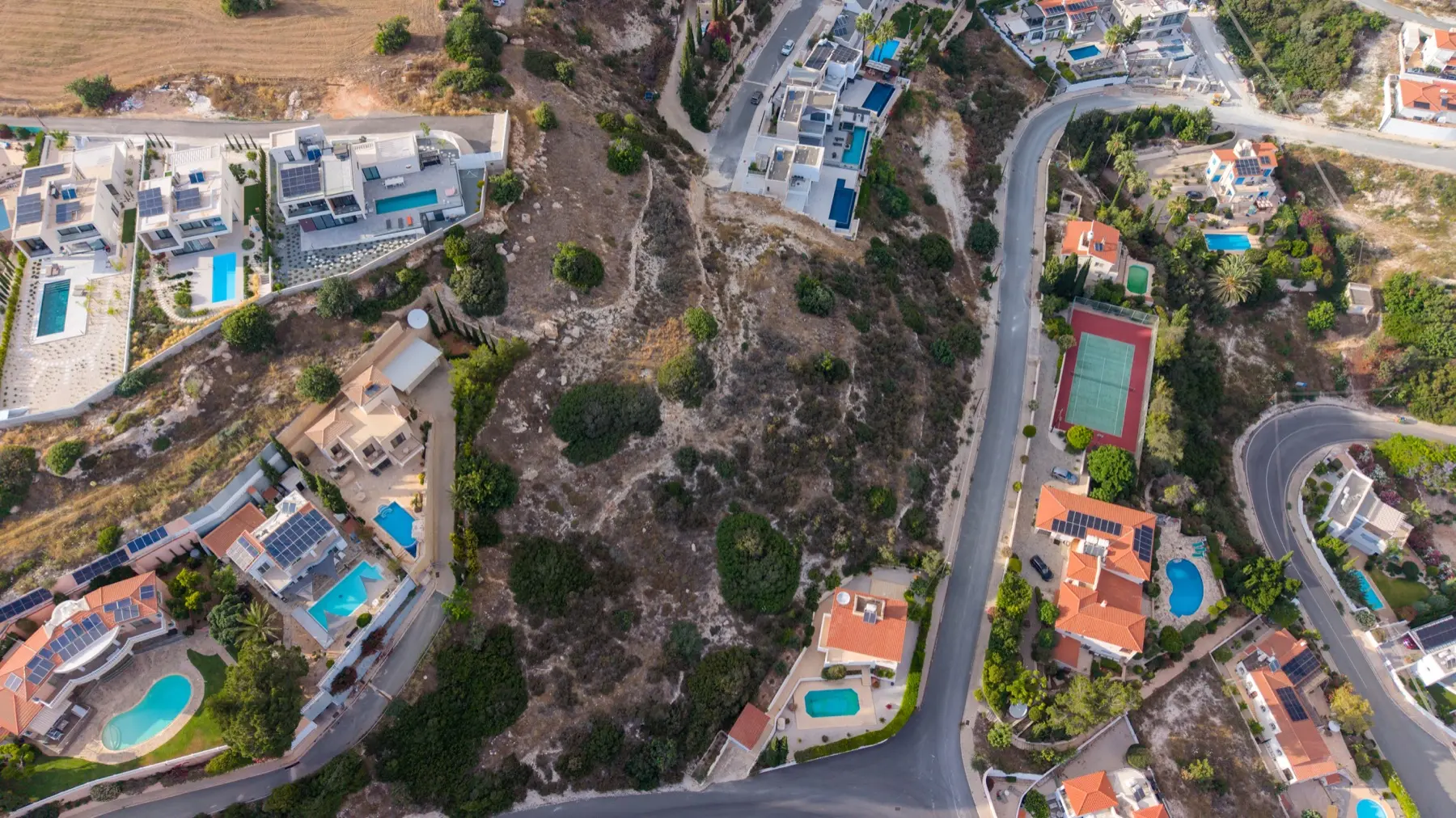
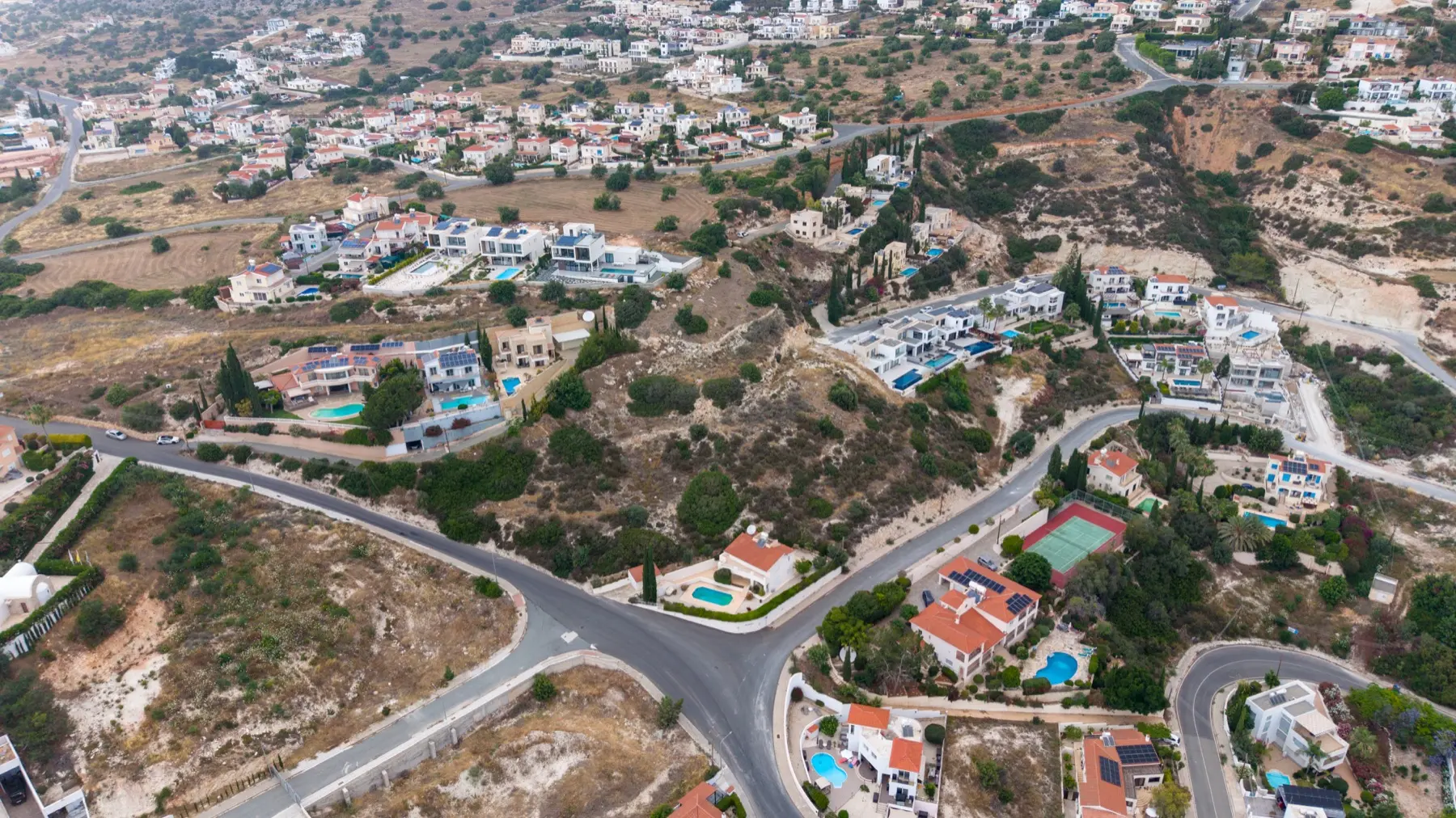
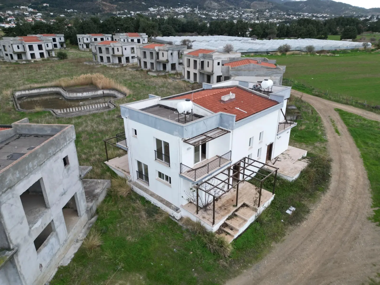
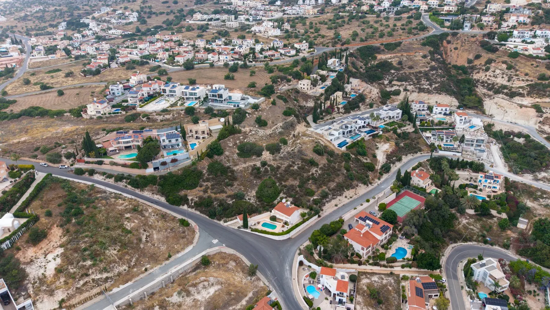
Elevated aerial drone view of a Cyprus hillside development plot, surrounding villas, roads and terrain visible from above Showreel · Aerial
Home / Services / Land Photography
— Land · Cyprus

Land & plot drone photography in Cyprus.

Boundaries, access, elevation and surrounding context — captured from above so a plot's potential is obvious at a glance.

See pricing
From€149
The numbers back it up

Why professional aerial photos are worth it for land.

68%faster to sellvs listings with standard ground-level images alone.MLS data · RubyHome
+10%higher asking priceachievable for properties marketed with aerial imagery.PhotoUp
403%more enquiriesfor listings that include video over those without.NAR
83%of sellers prefer drone photoschoosing an agent who markets with drone photography.NAR
— 01 / Pricing

Transparent pricing, hand-graded results.

Launch offer · Limited

50% off your first project.

Limited time for new clients — professional drone photography at half the standard rate.

Get a free quote
Tier 01

Basic

€149launch €299
  • 10 edited aerial photos
  • 48–72h delivery
  • Commercial usage rights
Best forLand plots, simple listings
Get a free quote
Featured add-on
+€299launch +€599
  • To-scale orthomosaic map of the whole plot
  • Plot boundary overlay & visualisation
  • Area & distance measurements
  • Elevation & contour data for sloped plots
  • Optional survey-grade RTK accuracy — on request
Added toAny Basic or Standard package
Get a free quote

Happy, or we re-shoot.

If the photos aren't what you hoped for, we'll re-shoot at no cost until you're happy. Simple as that.

— 02 / Our process

From booking to delivery.

05 steps · 5–7 days
Step 01

Schedule your consultation

Get started by scheduling a consultation with us. We'll discuss your project's details and requirements to tailor our service to your needs.

Step 02

Customised planning

We'll assess your site and plan the most effective drone flight paths to ensure we capture every essential detail. This step ensures we provide you with comprehensive and accurate visuals.

Step 03

Drone flight and media collection

On the scheduled day, our professional team will fly the drones over your site. We'll capture high-resolution videos and images, providing you with detailed and immersive insights.

Step 04

Receive your photos & videos

After the flight, we'll process and organise the data for you. You'll receive a secure link to download all your high-resolution visuals, including videos, images and 3D models, through our user-friendly online portal.

Step 05

Review and feedback

Once you have reviewed the data, feel free to reach out with any questions or feedback. We're here to ensure you have all the information you need and to make any necessary adjustments.

Get in touch
— 03 / Add-on · Orthomosaic mapping

Go beyond photography with to-scale aerial mapping.

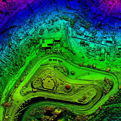
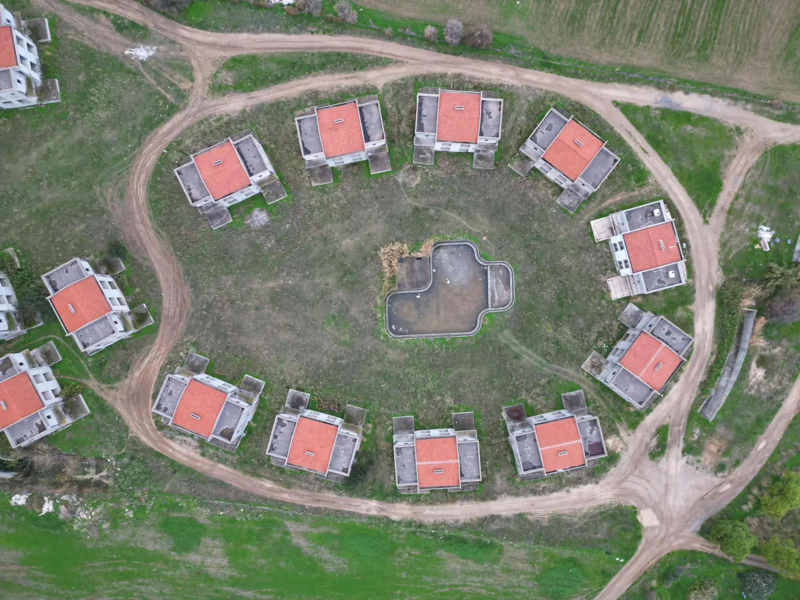
Using automated grid flights and specialist processing software, we stitch hundreds of overlapping images into a single, geometrically corrected top-down map of your entire plot — accurate enough to measure distances, areas and boundaries directly.

  • A high-resolution, true-to-scale map of the whole site
  • Overlay and visualise plot boundaries
  • Elevation & contour data for sloped and hillside plots
  • Area & volume measurements for planning and development
  • Optional survey-grade RTK accuracy (1–2 cm) — available on request
Add orthomosaic mapping
€299€599launch offer

Our standard orthomosaic and 3D mapping is a high-quality visual and indicative product — ideal for listings, planning and getting a clear feel for a plot. Survey-grade RTK precision (1–2 cm) is available on request as a premium add-on with a higher flight cost, quoted per site. For legally binding boundaries or certified area figures, a licensed land surveyor should always be consulted.
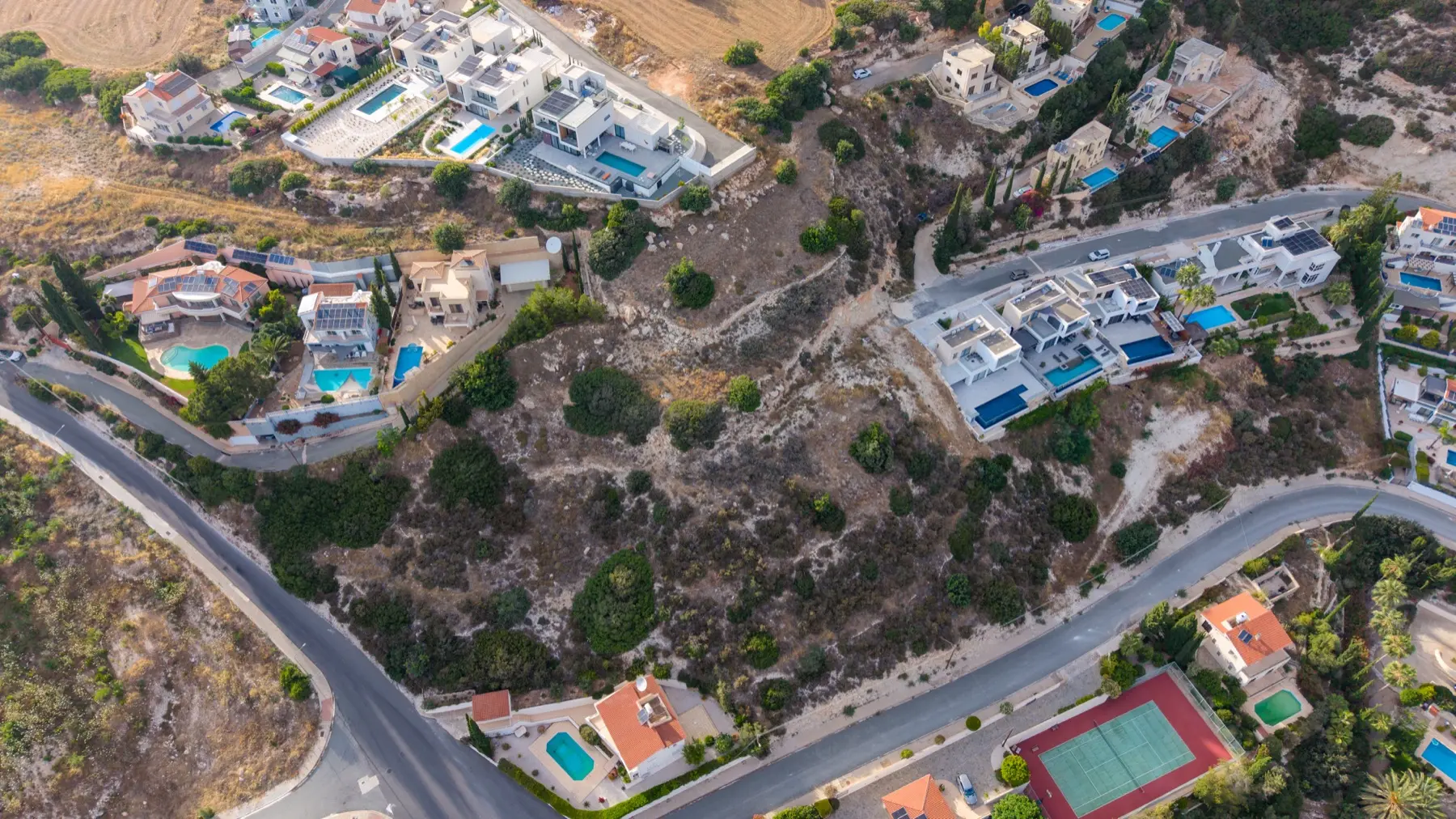
Colour-graded orthophoto elevation map of a site generated from drone photogrammetry
— 04 / Why choose us

Why choose us for land photography.

01

Enhanced marketing impact

Grab attention online and offline with professional-grade visuals. Eye-catching imagery helps your property stand out in a crowded market, ensuring potential buyers notice the unique features of your listing.

02

Speedy turnaround

Receive your content promptly to keep up with your marketing timeline. Our efficient workflow ensures that you'll have your images and videos ready in time for your campaigns, helping you stay ahead of the competition.

03

Licensed professionals

Our pilots are fully certified, ensuring safety and compliance. With expertise in both aviation and photography, our team adheres to strict safety standards while delivering stunning visuals.

— 05 / What our clients say

What our clients say.

Verified · Trustpilot
★★★★★
"Communication with Adam was easy, honest and very straightforward. The drone footage was excellent and exactly what I asked for. Highly recommended!"
Andreas Michaelides Verified Trustpilot review · Jul 2026
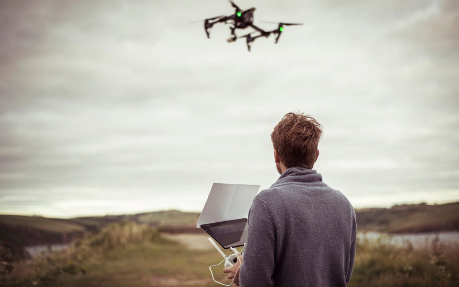
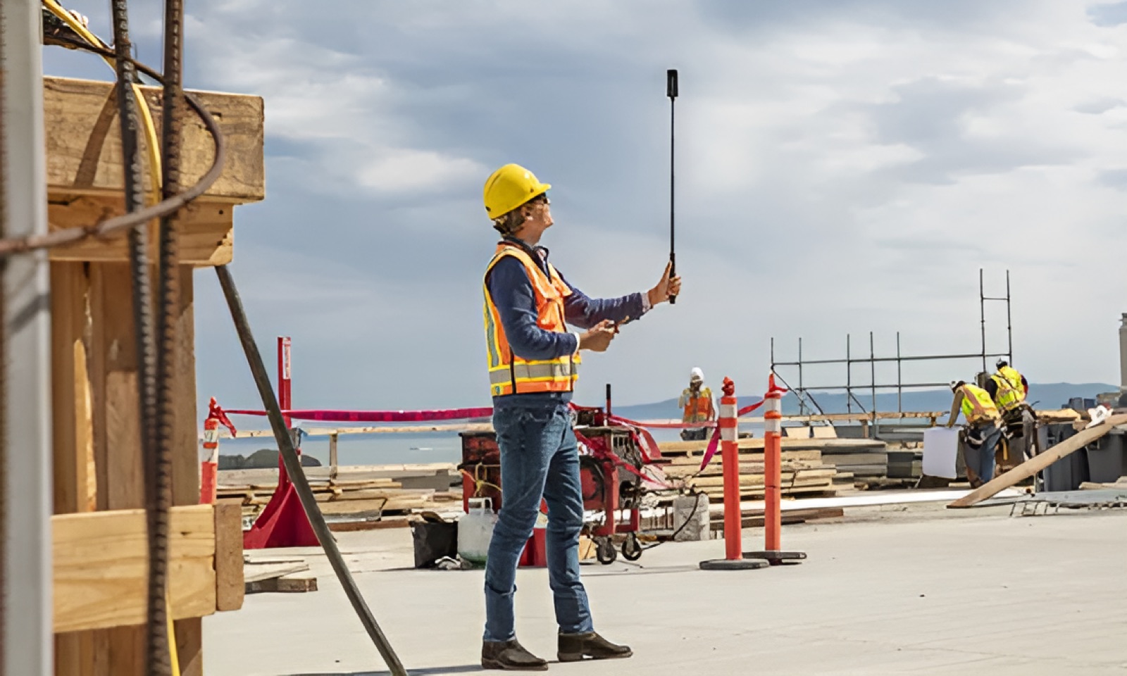
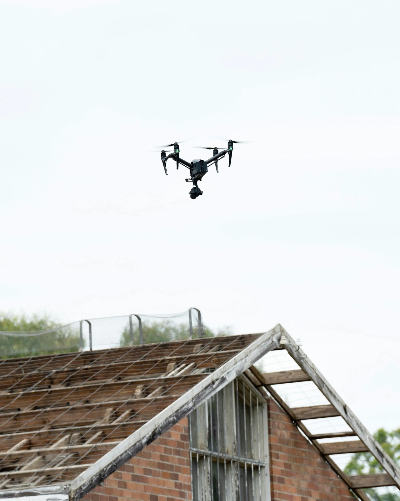
Adam, founder and drone pilot of cyprusdroneX, flying a drone in Cyprus
— Founder-run

You'll work directly with Adam.

No call centres, no handoffs. From your first message to final delivery, you deal with the person actually flying the drone — easy to reach, straight-talking, and personally accountable for the result.

— Adam, founder & drone pilot
— For estate agents

Your on-call aerial team for every new listing.

If you're an estate agent who needs fresh material every time a property or plot comes to market, make us your regular partner. We take the photography off your plate — booked, shot and delivered on turnaround — so every listing goes live looking its best, without you lifting a camera.

  • Priority scheduling for your new instructions
  • Consistent, on-brand imagery across your whole portfolio
  • One point of contact — we handle access, capture and delivery
  • Preferential partner pricing on every shoot
Become a partner Discounted agent rate
Ongoing partnership

Regular volume,
regular savings.

Tell us how many listings you turn over each month and we'll build a rate that works for both of us.

— 06 / FAQs

Frequently asked questions.

Anything else? Drop us a line on WhatsApp or send a quick email — we typically reply the same day.

Ask a question
What types of properties can benefit from drone photography?

Drone photography is ideal for residential, commercial, and agricultural properties. Whether it's a luxury home, a new development, or a large land parcel, our aerial visuals showcase every detail beautifully.

How long does a typical drone photography session take?

Most sessions are completed within 1–2 hours, depending on the size and complexity of the property. We prioritise efficiency without compromising quality.

Can you provide videos and still images together?

Absolutely. Our packages can include both high-resolution images and cinematic videos tailored to your marketing needs.

What weather conditions are suitable for drone shoots?

Clear skies and minimal wind are ideal for capturing the best visuals. We monitor weather forecasts closely to schedule optimal shoot times.

Do you offer editing services for the images and videos?

Yes — we provide professional editing to ensure your visuals are polished and ready for presentation.

— 07 / Explore more

Explore more from cyprusdroneX.

The listing your property deserves.

Tell us about the property and the schedule. We'll come back with a proposal and a sample plan within one working day.

Start a project
Get in touch