cyprusdroneX · Nicosia · Cyprus
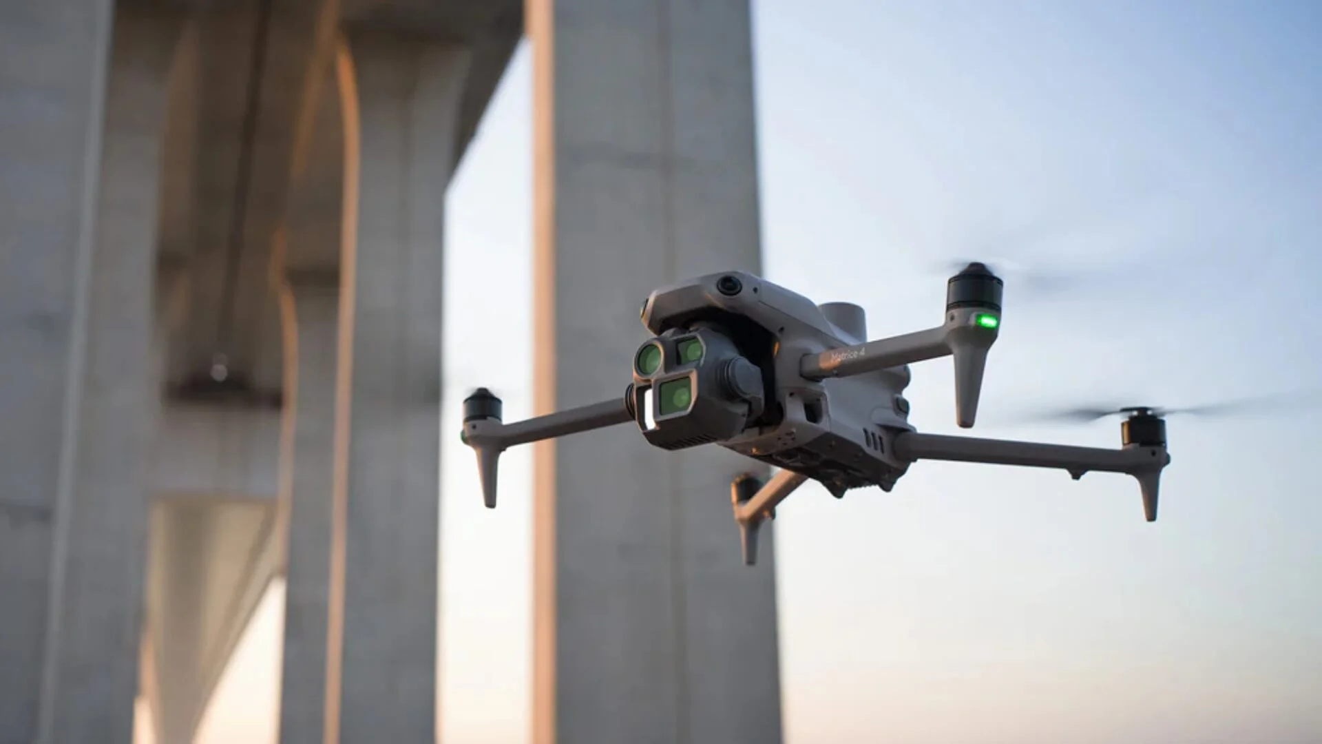
DJI Matrice 4 in flight beside a bridge structure
Home / Services / Large-Scale Development Monitoring
Commercial & Industrial · Monitoring

Large-scale development monitoring.

Programme control and evidence for major and multi-site developments — dated orthomosaics overlaid on your design, progress-versus-programme reporting, and a documentation trail built for draw-downs and dispute defence.

Accuracy
1–2 cm RTK
Cadence
weekly–monthly
Reporting
progress vs programme
Coordinates
CGRS93 / LTM or your CRS
— 01 / The operational problem

On a large programme, what you can't see is what hurts you.

Cost

Slippage seen too late

Programme drift that isn't visible until a site walk is drift you're already paying for in delay and acceleration costs.

Risk

Draw-downs & disputes

Lenders want evidence before releasing funds, and contract disputes turn on who can show what was built, and when.

Delay

Reporting across sites

Coordinating consistent progress reporting across multiple sites by hand is slow and rarely comparable.

— 02 / Deliverables specification

Exactly what you receive — with the numbers.

Each capture becomes a dated, comparable record you can report from and rely on as evidence.

Output
Format
Detail
Dated orthomosaic
GeoTIFF
Georeferenced site image for every capture, time-stamped.
Design overlay
PDF · GeoTIFF
Captured state overlaid on your design or site plan.
Progress report
PDF
Progress versus programme, with change since last capture.
Surface & point cloud
GeoTIFF · LAS
For levels, volumes and detailed review.
Documentation pack
PDF
Dated evidence set for draw-downs, records and disputes.
Methodology report
PDF
Capture dates, coverage and coordinate reference.
Capture cadence
weekly–monthly
Absolute accuracy
1–2 cm H (RTK)
Reporting
progress vs programme
Coordinate system
CGRS93 / LTM or your CRS
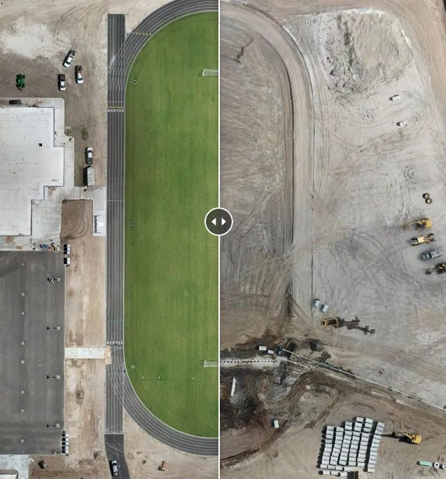
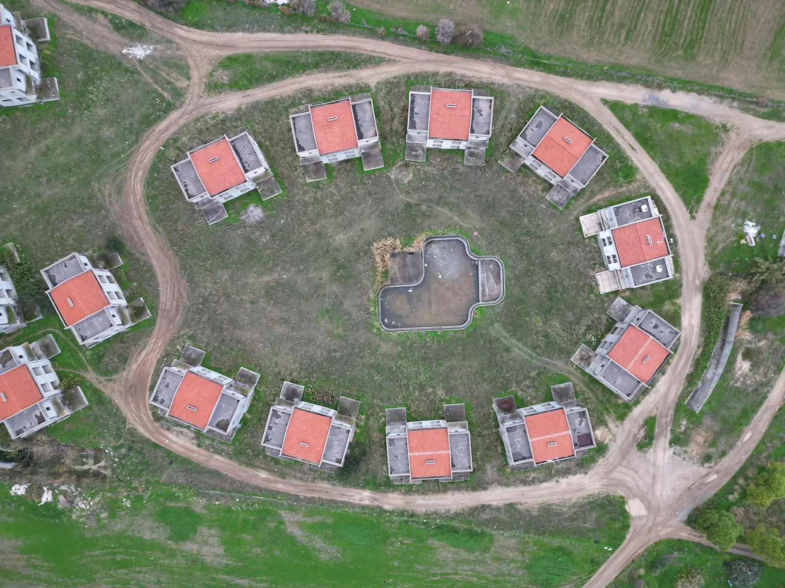
Top-down dated aerial orthomosaic of a development siteDated orthomosaic
Before-and-after aerial orthomosaic showing site progress over timeProgress orthomosaic
— 03 / Methodology

Controlled capture, validated output.

01 · Plan

Flight & control plan

We set flight lines, altitude and overlap for your target GSD, and plan permit and geozone requirements before mobilising.

02 · Control

RTK positioning

The aircraft flies with an onboard RTK link, tagging every image with real-world coordinates as it is captured — so the survey is tied to a coordinate system, not just stitched imagery.

03 · Capture

Structured capture

Automated grid flight captures the full site at consistent overlap, with oblique passes where 3D reconstruction and vertical faces require them.

04 · Process

Photogrammetric processing

Imagery is processed into orthomosaic, DSM/DTM, point cloud and mesh, referenced to your coordinate system.

05 · QA

Positioning QA

The processed dataset is quality-checked for RTK positioning consistency, and the deliverable carries a stated accuracy figure.

06 · Deliver

Formatted delivery

Outputs are exported to your required formats and delivered via secure download, with the methodology report alongside.

— 04 / Capability

Technology that makes the data measurable.

We fly state-of-the-art, survey-grade equipment — but what matters to you isn't the hardware, it's that the output is accurate, verifiable and ready to build from.

Real-world RTK positioning and a survey-grade processing workflow are what separate measurable data you can build on from imagery that only looks precise.

Positioning
RTK · real-world coordinates
Accuracy
1–2 cm RTK
Detail
high-resolution capture
Outputs
CAD & GIS-ready
— 05 / Compliance & credentials

Cleared to fly on your site — and insured to be there.

Registered operator

Registered drone operator with the Cyprus Department of Civil Aviation (DCA), operating under the EASA regulatory framework.

Certified remote pilot

Current remote pilot competency for the relevant operational category, with documented flight procedures.

Operational authorisations

Open and Specific category operations as the site requires, with risk assessment for controlled or complex sites.

Third-party liability

Third-party liability insurance in place for commercial operations — cover level and certificate provided on request.

Geozone & permits

We handle airspace geozone checks, authorisations and any site-specific permits before the flight.

Data handling

Your site data is held securely and shared only with you and parties you nominate. NDAs accommodated.

— 06 / Scope & engagement

How monitoring is scoped and quoted.

Milestone captures

Capture at defined programme milestones for stage records and stakeholder review.

Scheduled programme

Regular weekly or monthly captures with consistent progress-versus-programme reporting.

Multi-site framework

A standing agreement across a portfolio, with comparable reporting site to site.

To quote accurately, we need:

  • Site location(s) and approximate area
  • The capture cadence you need
  • Your design or programme to report against
  • Who receives the reports (team, lender, PM)
  • Single site, or a multi-site programme
Request a scope & quote
— 07 / Sector applications

Who we monitor for.

Main contractors

Programme control and a dated record across the whole build.

Multi-site developers

Consistent, comparable progress reporting across a portfolio.

Project managers

Progress-versus-programme evidence to drive site meetings.

Lenders & funders

Independent, dated documentation to support draw-downs.

— 08 / FAQs

Technical & procurement.

Need something specific for a tender or spec? Send it over — we'll answer directly.

Request a scope
How often do you capture?

Weekly to monthly, or at defined milestones — set to your programme. Captures are dated and directly comparable to the previous one.

Can you overlay our design or site plan?

Yes — we overlay the captured state on your design or programme so progress and deviations are visible at a glance.

Is it suitable for lender draw-downs?

Yes — dated documentation packs are built as independent evidence of what was built and when, to support draw-down releases.

How is this different from your construction monitoring page?

That page is for individual residential builds. This is portfolio- and contract-scale — with design overlays, progress-versus-programme reporting and documentation for draw-downs and disputes.

Can you cover multiple sites?

Yes — that's the core of it. We run a consistent capture and reporting standard across a portfolio so every site is comparable.

Are you insured and authorised to fly commercially?

Yes — registered with the Cyprus DCA, certified remote pilot, and covered by third-party liability insurance. We handle airspace authorisations and site permits. Certificates are provided on request.

— 09 / Commercial & industrial services

More from the commercial tier.

Keep the programme evidenced.

Tell us the sites and the cadence you need. We'll come back with a scope and quote within one working day.

Request a scope & quote
Get in touch