Drone Building Surveys Explained: What They Cover and Cost
No scaffolding, no ladders, no guesswork — what a drone building survey actually covers, where its limits are, and what you should expect to pay.
No scaffolding, no ladders, no guesswork — what a drone building survey actually covers, where its limits are, and what you should expect to pay.
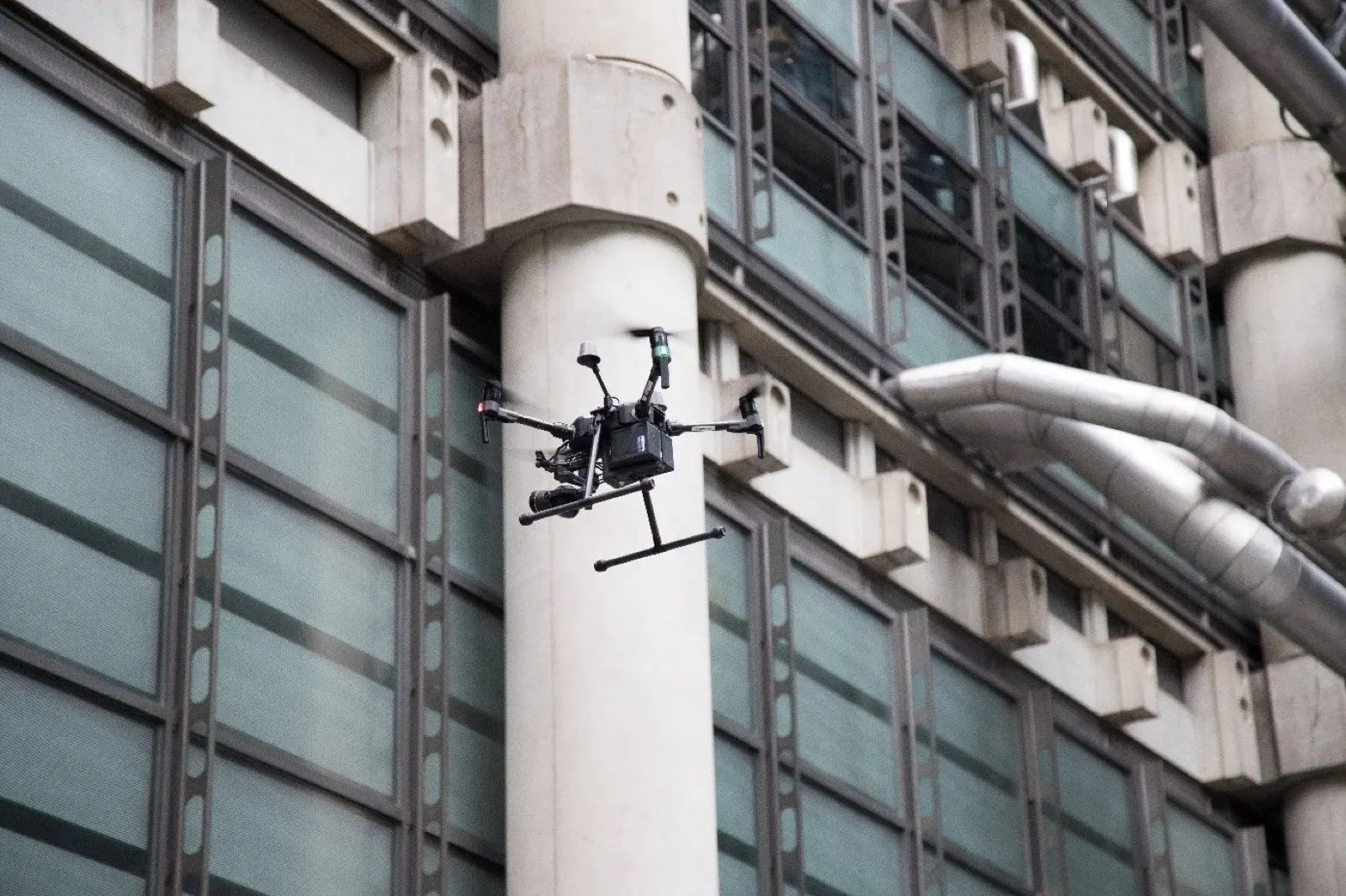
A drone building survey is a close-range visual condition assessment of a building's roof, facades, chimneys and other hard-to-reach elements, carried out by a licensed drone pilot. Instead of scaffolding, ladders or a cherry picker, a camera drone flies within a few metres of the structure and captures high-resolution, dated photographs of every surface you can't see from the ground. You get a permanent photographic record of the building's external condition — typically for a fraction of the cost of access equipment, and with nobody leaving the ground. (In the US the same service usually goes by "drone building inspection"; in the UK, Cyprus and most of Europe, "survey" is the standard term.)
We fly these surveys every week across Cyprus, so this guide is written from the pilot's side of the controller: what a drone building survey genuinely covers, where its limits are, how the day runs, and what it should cost.
Strip away the jargon and it's three things: a flight, a camera, and a report. A licensed pilot plans a route around your building, flies it methodically — roof planes, ridge lines, each elevation in turn — and photographs everything at close range in high resolution. The images are then sorted, captioned and compiled into a report that shows the condition of every external element on a stated date.
The phrase covers a family of related jobs. A drone building condition survey documents the whole external envelope, usually before a purchase, after a storm or as part of planned maintenance. A drone roof survey focuses on the roof alone — we've written a separate step-by-step guide to drone roof inspections. Measured surveys and 3D modelling are different services again, with their own equipment and pricing; if you're not sure which you need, start with our overview of what a drone survey is and the main types.
Anything on the outside of the building that a camera can see, including everything that's invisible from the ground. On a typical survey we photograph:
On the building surveys we fly in Cyprus, the defects owners miss are almost always at high level — a slipped ridge tile, a hairline crack behind a parapet, a blocked gutter running quietly for years. They're invisible from the street and awkward to reach any other way, which is exactly why they go unnoticed until they cause damage inside.
Because every photo is dated and geolocated, the survey doubles as evidence. If you later need to prove a roof was sound before a storm — or damaged after one — the record is already there.
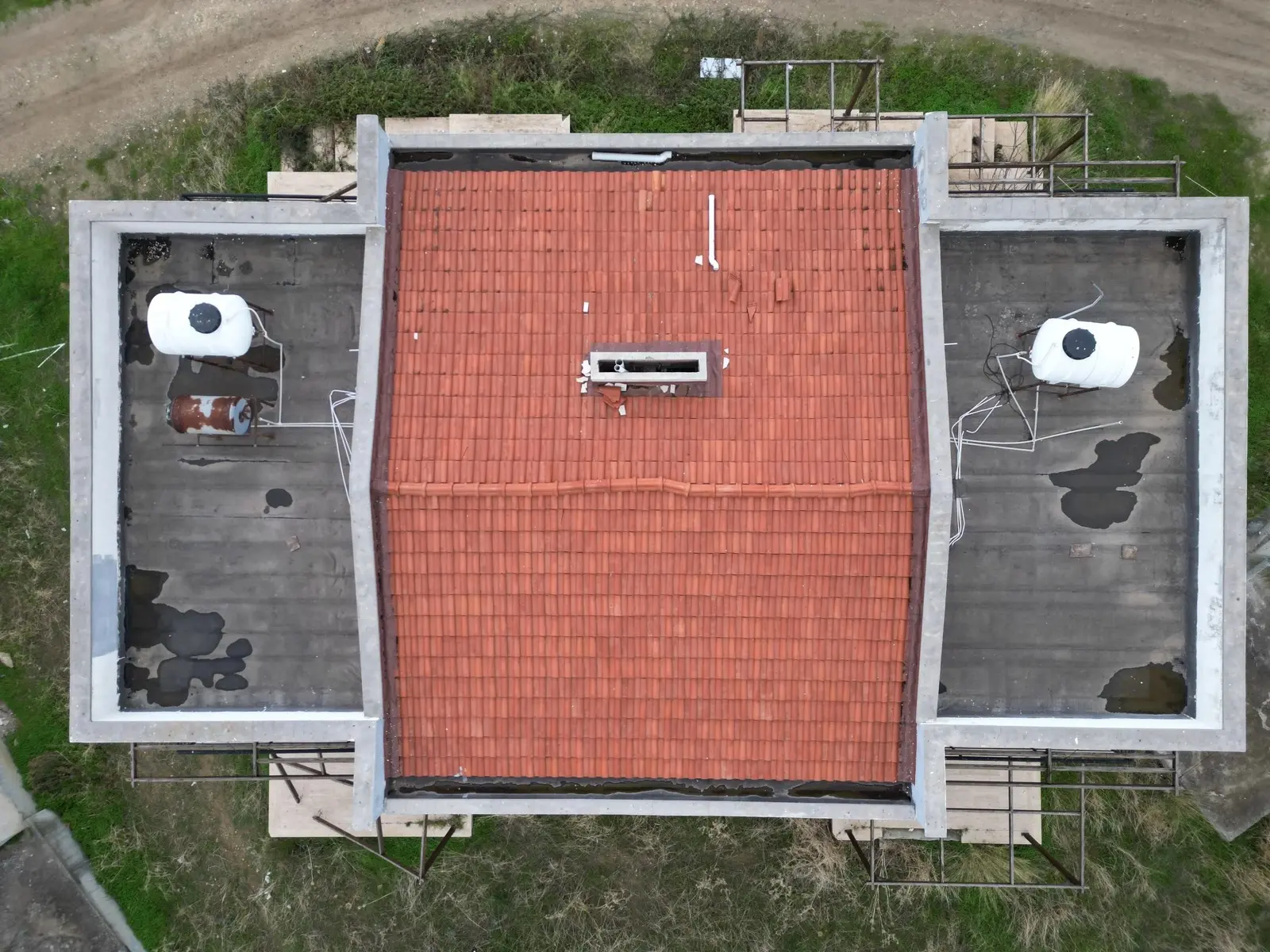
Here's the part most providers gloss over: a drone survey is a visual record, not a structural verdict. A camera cannot see inside a wall, lift a tile, test damp levels or measure the deflection of a beam. It won't find internal defects, hidden rot, or anything that needs a hand on the fabric of the building to diagnose.
It also isn't a substitute for professional judgement. If you're buying a property, a drone survey pairs with a chartered surveyor's report — it doesn't replace it. What's changed in recent years is that surveyors increasingly commission drone imagery themselves, because it gives them evidence from the exact areas their ladders can't reach. The honest framing: the drone gathers the evidence, the surveyor (or roofer, or engineer) interprets it.
A drone survey tells you what the building looks like everywhere you can't see. What it means is still a job for a human who knows buildings. — how we brief every client before we fly
Yes — routinely, and increasingly by default for anything above a single storey. RICS-regulated firms and independent surveyors alike now commission drone flights to inspect roofs, chimney stacks and upper facades without the cost and delay of access equipment. Very few surveyors fly themselves; commercial drone work needs a licence, insurance and current airspace permissions, so most subcontract the flying to a specialist operator and fold the imagery into their own report. When a surveyor commissions imagery from us, the brief is usually specific — the elevations and roof details they couldn't reach on their own visit — and we shoot to their list rather than a generic sweep. If your surveyor notes "roof not inspected — no safe access", a drone survey is exactly the gap-filler they mean.
From your side, it's about as low-effort as building work gets. Here's the sequence we follow on every job:
Ours are priced flat, so you know the number before we fly. We're currently running 50% launch pricing:
| Package | Launch price | Standard price | What you get |
|---|---|---|---|
| Standard survey | €149 | €299 | Visual survey, 30+ high-resolution photos, PDF photo report, delivered in 48–72 hours |
| Detailed condition survey | €249 | €499 | Full photo and video coverage, 50+ annotated photos marking visible damage, insurer- and roofer-ready PDF |
Wherever you buy, four things move the price: the size and height of the building, its complexity (a plain gable roof is quicker to document than a warren of dormers, valleys and extensions), the depth of reporting you need, and the airspace it sits in — a property near an airport or in a restricted zone can require permissions that add lead time. A flat-rate quote should already have priced all four in; if a provider can't give you a firm number after seeing the address, that's worth noticing.
For context: in the UK, drone building and roof surveys are usually quoted case by case, and published guidance puts them anywhere from low hundreds of pounds for a simple roof to considerably more for large or complex buildings. What's consistent across every market is the comparison that matters — scaffolding or powered access for the same visual check typically costs several times more than the survey itself, before you count the days of waiting. Details of what's included are on our roof and building inspection service page.
Close-range drone survey of roof, facades and hard-to-reach elements, with an annotated photo report — across Cyprus, from €149.
The clearest cases we see, over and over:
If the question is "what condition is the outside of this building in?", a drone survey answers it faster, more safely and more cheaply than any other method. If the question is "what should I do about it?", pair the imagery with a surveyor, engineer or roofer. Knowing the difference is most of the value.
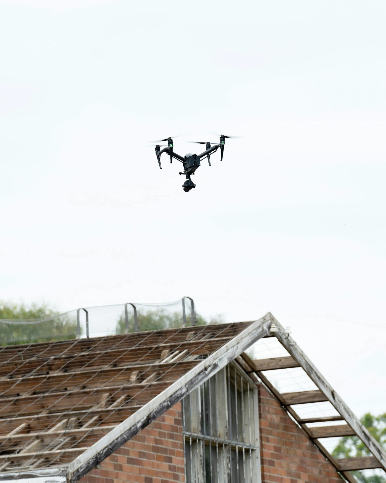
Four checks separate professionals from someone with a drone and a Facebook page:
We're happy to be tested against all four — send us a message and we'll share a sample report the same day.
It depends on the building's size and the depth of reporting. Our standard survey is €299 (currently €149 at launch pricing) and our detailed condition survey is €499 (currently €249). UK providers typically charge several times more for comparable work. Either way, it's usually a fraction of the cost of scaffolding or a cherry picker hired for the same look.
Yes. Chartered surveyors, including RICS-regulated firms, increasingly commission drone imagery for roofs, chimneys and high facades. Most don't fly themselves — they bring in an EASA licensed operator and interpret the imagery within their own professional report.
For most roofs, yes: lower cost than access equipment, zero risk to people, and a dated photographic record you can hand to a roofer or insurer. The main exception is a defect that clearly needs hands-on investigation from day one — then physical access is the right first move.
No, and be wary of anyone who says otherwise. A drone survey documents external visual condition; a RICS survey is a professional assessment of the whole property with legal standing. They complement each other — drone imagery gives the surveyor evidence from areas they can't reach.
The flight is typically 30–60 minutes for a house or small commercial building, plus set-up and safety checks — under two hours on site in total. The report follows within 48–72 hours, or 24 hours with express delivery.
A PDF photo report with captioned, located, high-resolution images of the roof, facades and any problem areas, plus the full-resolution files. The detailed package adds video coverage and annotated photos marking visible damage, ready to forward to an insurer, roofer or surveyor.
The full flight-to-report process for roofs, step by step.

From roof checks to mapping — the main survey types compared.
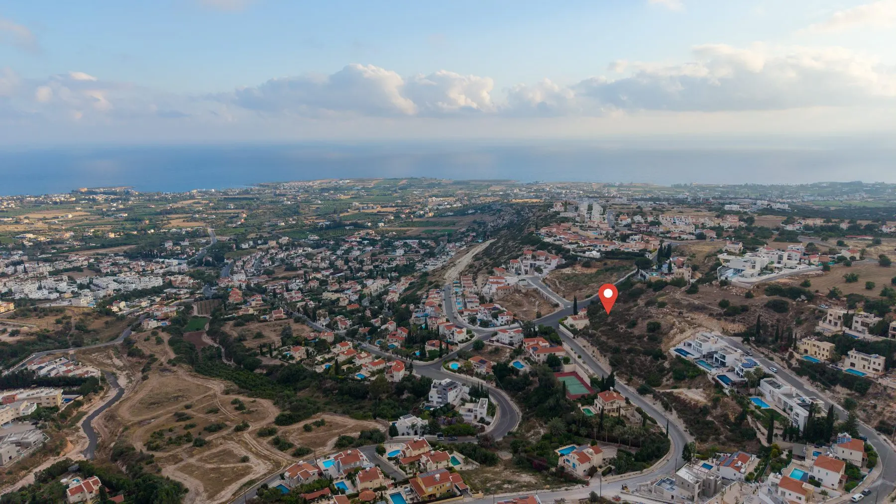
Title deeds, boundaries and the checks worth doing from the air.
See exactly what our building and roof inspections cover — packages, pricing and sample reports — or send us the property and we'll confirm a flight date within one working day.
See our inspection service →