cyprusdroneX · Nicosia · Cyprus
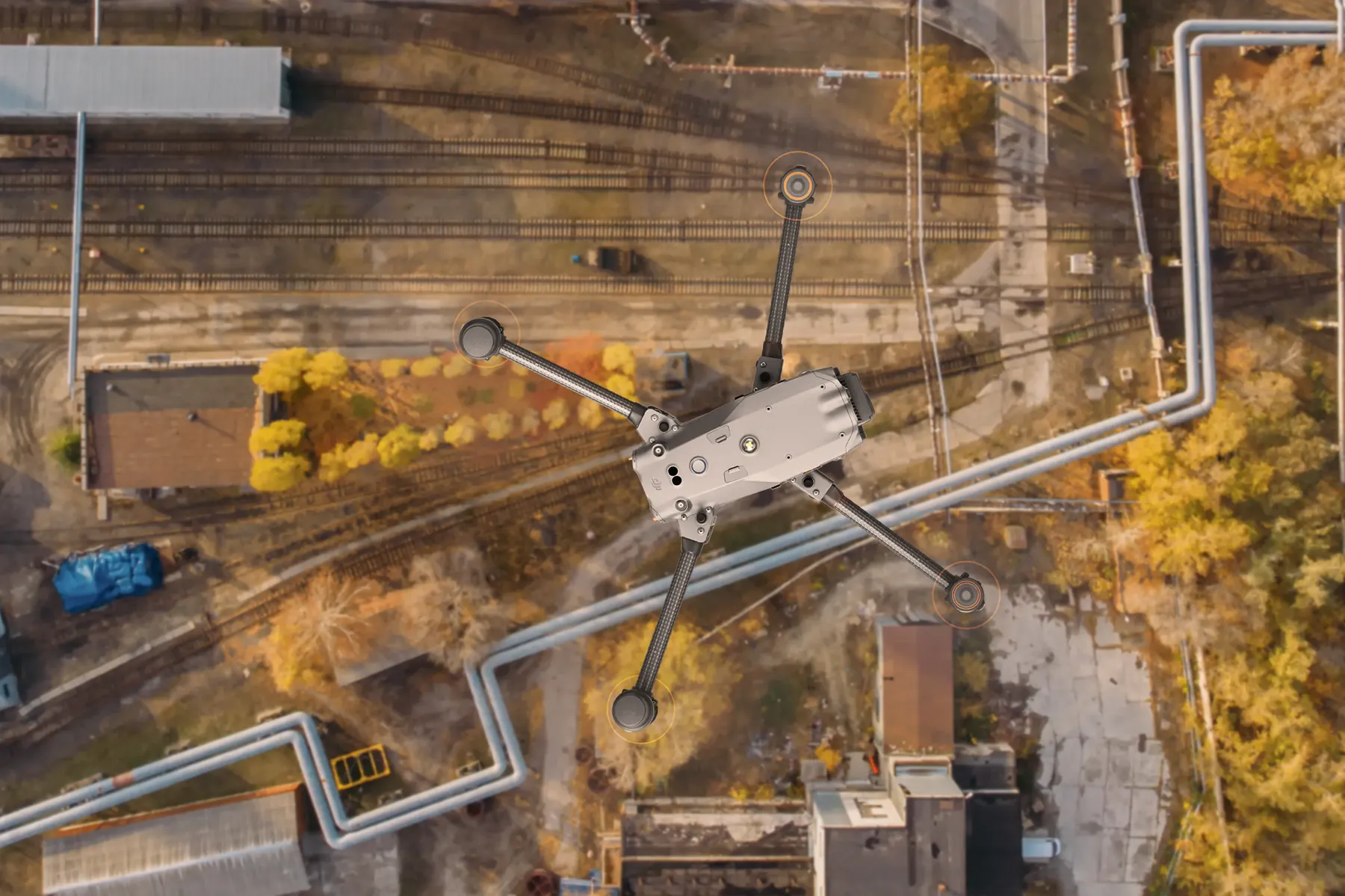
Top-down drone view of an industrial rail and pipeline site
Home / Services / Industrial & Commercial Asset Inspection
Commercial & Industrial · Inspection

Industrial & commercial asset inspection.

High-zoom standoff inspection of the assets that are dangerous, expensive or disruptive to reach — captured with no scaffolding, no rope access and no shutdown, and delivered as a GPS-tagged, severity-graded defect register.

Standoff
up to ~250 m
Zoom detail
112× hybrid
Register
GPS-tagged · graded
Downtime
none required
— 01 / The operational problem

Access is the real cost of inspection — not the inspection itself.

Cost

Access & downtime

Scaffolding, rope access and production stoppages cost far more than the inspection, and every day of access is a day of lost output.

Risk

Work at height

Sending people onto roofs, towers and live plant to look for defects carries risk that a standoff drone simply removes.

Delay

Missed & late defects

Spot checks miss things, and problems found late become failures — you need repeatable, complete coverage on a schedule.

— 02 / Deliverables specification

Exactly what you receive — with the numbers.

You receive a defect register you can act on and track over time — every finding located, graded and evidenced.

Output
Format
Detail
Defect register
PDF · CSV
Every defect GPS-tagged, severity-graded and described.
Annotated imagery
JPEG · PDF
High-zoom detail of each finding, marked up.
Asset overview
Orthomosaic
Georeferenced overview locating each defect on the asset.
Repeat baseline
Digital set
A reference set so the next inspection is directly comparable.
Zoom detail captures
JPEG
112× stand-off detail of high or hazardous elements.
Inspection report
PDF
Summary, severity breakdown and recommended actions.
Standoff range
up to ~250 m
Zoom
112× hybrid
Grading
severity-scaled register
Downtime
none required
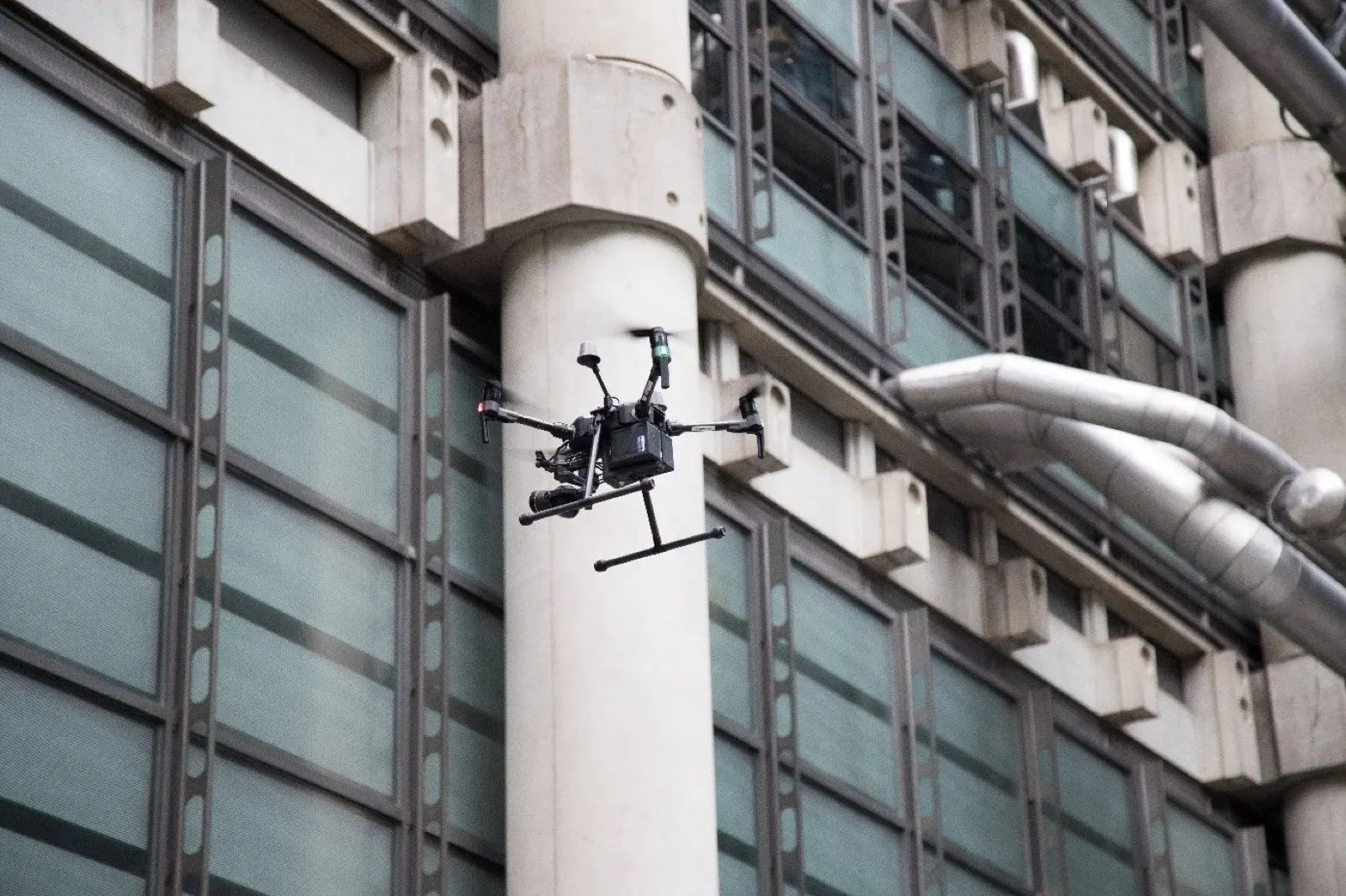
Close-range drone view of a structural defect on a building facadeDefect detail
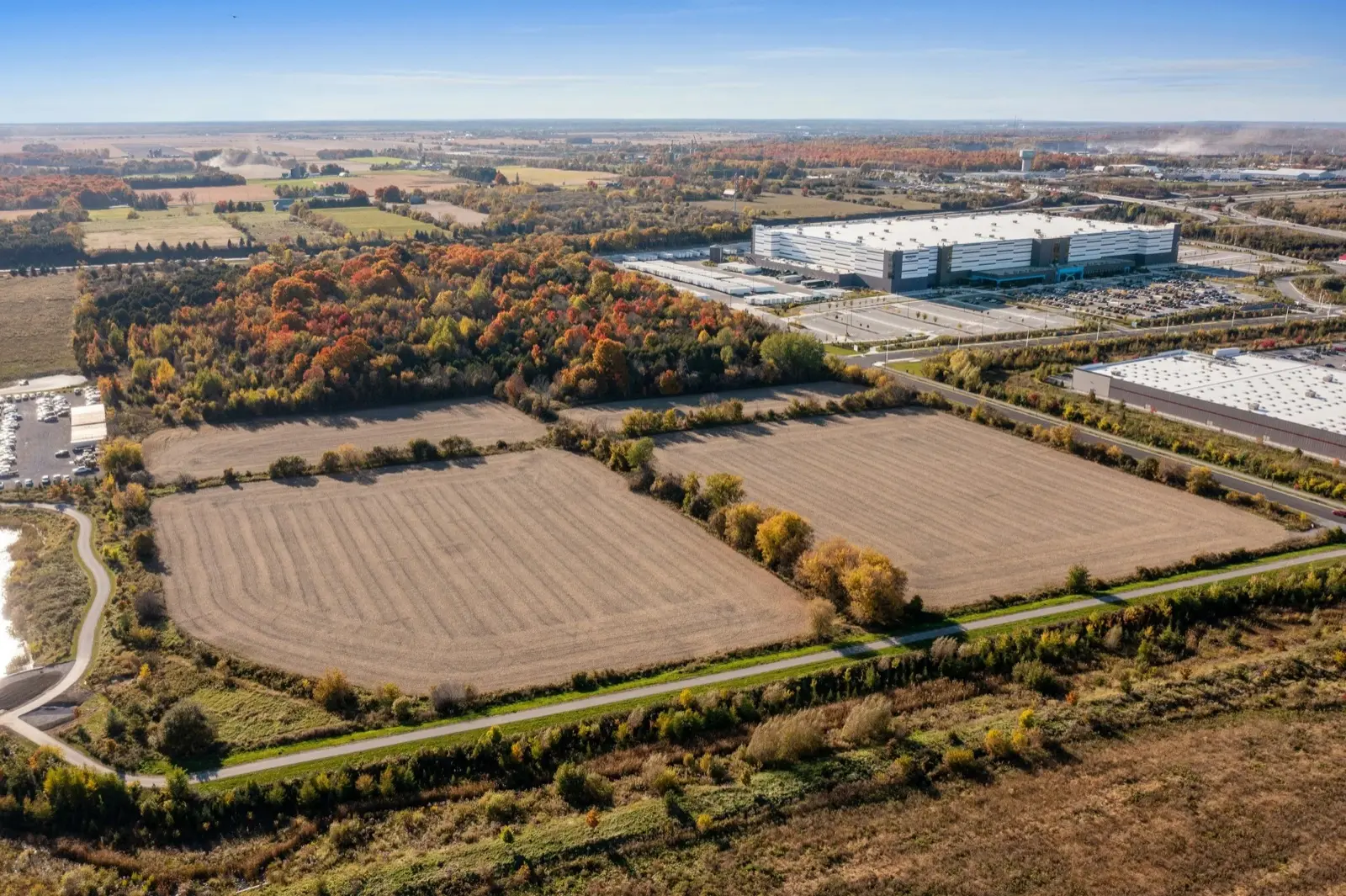
Aerial overview of an industrial asset in CyprusAsset overview
— 03 / Methodology

Controlled capture, validated output.

01 · Plan

Flight & control plan

We set flight lines, altitude and overlap for your target GSD, and plan permit and geozone requirements before mobilising.

02 · Control

RTK positioning

The aircraft flies with an onboard RTK link, tagging every image with real-world coordinates as it is captured — so the survey is tied to a coordinate system, not just stitched imagery.

03 · Capture

Structured capture

Automated grid flight captures the full site at consistent overlap, with oblique passes where 3D reconstruction and vertical faces require them.

04 · Process

Photogrammetric processing

Imagery is processed into orthomosaic, DSM/DTM, point cloud and mesh, referenced to your coordinate system.

05 · QA

Positioning QA

The processed dataset is quality-checked for RTK positioning consistency, and the deliverable carries a stated accuracy figure.

06 · Deliver

Formatted delivery

Outputs are exported to your required formats and delivered via secure download, with the methodology report alongside.

— 04 / Capability

Technology that makes the data measurable.

We fly state-of-the-art, survey-grade equipment — but what matters to you isn't the hardware, it's that the output is accurate, verifiable and ready to build from.

Real-world RTK positioning and a survey-grade processing workflow are what separate measurable data you can build on from imagery that only looks precise.

Positioning
RTK · real-world coordinates
Accuracy
1–2 cm RTK
Detail
high-resolution capture
Outputs
CAD & GIS-ready
— 05 / Compliance & credentials

Cleared to fly on your site — and insured to be there.

Registered operator

Registered drone operator with the Cyprus Department of Civil Aviation (DCA), operating under the EASA regulatory framework.

Certified remote pilot

Current remote pilot competency for the relevant operational category, with documented flight procedures.

Operational authorisations

Open and Specific category operations as the site requires, with risk assessment for controlled or complex sites.

Third-party liability

Third-party liability insurance in place for commercial operations — cover level and certificate provided on request.

Geozone & permits

We handle airspace geozone checks, authorisations and any site-specific permits before the flight.

Data handling

Your site data is held securely and shared only with you and parties you nominate. NDAs accommodated.

— 06 / Scope & engagement

How an inspection is scoped and quoted.

One-off inspection

A single inspection of a defined asset — condition check, pre-purchase, or post-incident assessment.

Scheduled inspections

Recurring inspections on a maintenance cycle, each comparable against the last.

Annual framework

A standing agreement across a portfolio of assets, with agreed rates and priority scheduling.

To quote accurately, we need:

  • Asset type, location and height/extent
  • What you need inspected and why
  • Any known or suspected problem areas
  • Access constraints and safety requirements
  • One-off, or a recurring inspection schedule
Request a scope & quote
— 07 / Sector applications

Who we inspect for.

Facility & estate managers

Roofs, facades and plant across commercial and industrial estates.

Solar O&M

Commercial and utility-scale arrays — module and string-level fault finding.

Telecom operators

Masts, towers and antennas inspected without a climb.

Ports & industrial

Cranes, tanks, conveyors and structures kept in service during inspection.

— 08 / FAQs

Technical & procurement.

Need something specific for a tender or spec? Send it over — we'll answer directly.

Request a scope
What assets can you inspect?

Roofs, facades, towers and masts, solar arrays, tanks, cranes, ports and industrial plant — anything better and more safely seen from a controlled standoff than up close.

Do we need to shut the asset down?

No — standoff inspection runs while the asset stays in operation. That's the main reason it's cheaper than scaffolding or rope access.

Do you inspect residential solar?

No — we inspect commercial and utility-scale solar arrays only. Residential rooftop systems aren't economic to inspect by drone; a technician with a ladder is the right tool there.

How are defects graded and tracked?

Each defect is GPS-tagged, described and rated on a severity scale, with a baseline set so the next inspection is directly comparable and you can track change over time.

Is this a thermal inspection?

This service is high-resolution visual and zoom inspection. Thermal solar scanning is a separate capability — ask us if that's what you need.

Are you insured and authorised to fly commercially?

Yes — registered with the Cyprus DCA, certified remote pilot, and covered by third-party liability insurance. We handle airspace authorisations and site permits. Certificates are provided on request.

— 09 / Commercial & industrial services

More from the commercial tier.

Inspect it without shutting it down.

Tell us the asset and the access constraints. We'll come back with a scope and quote within one working day.

Request a scope & quote
Get in touch