cyprusdroneX · Nicosia · Cyprus
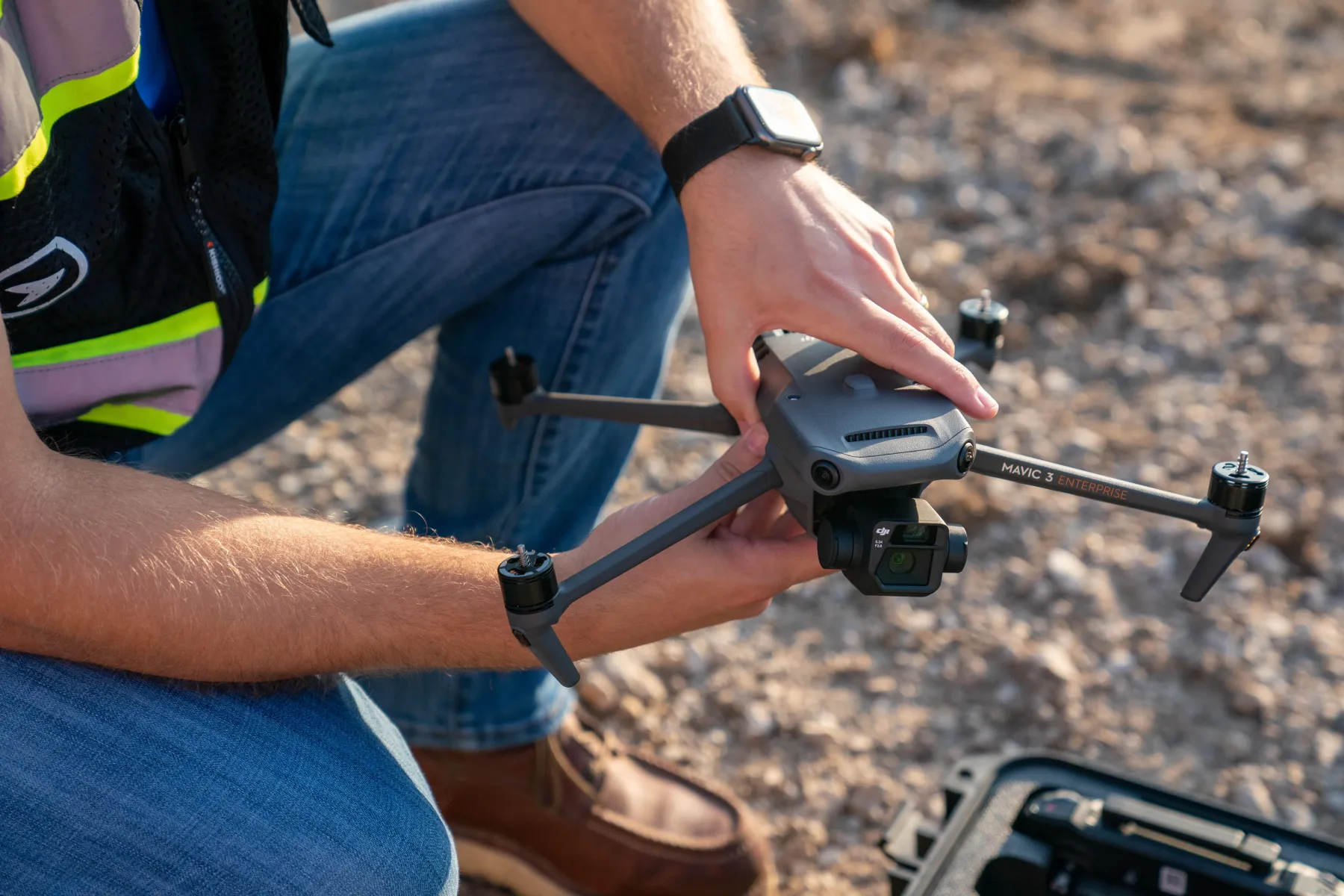
Drone pilot preparing a Mavic 3 Enterprise on site
Home / Services / Aerial Survey & Site Mapping
Commercial & Industrial · Survey-grade

RTK-accurate aerial survey & site mapping.

Survey-grade orthomosaics, terrain models, contours and point clouds of your site — captured from the air with RTK positioning, and delivered in the formats your CAD and GIS workflows already use.

Accuracy
1–2 cm RTK
Detail
from 0.8 cm/px
Outputs
CAD & GIS-ready
Coordinates
CGRS93 / LTM or your CRS
— 01 / The operational problem

Decisions made on stale or uncertain site data cost money.

Cost

Measurement uncertainty

Earthwork quantities, boundaries and levels estimated from old surveys or spot measurements carry error that surfaces later as re-work, over-ordered material and margin lost on the job.

Delay

Slow, partial coverage

A ground crew walking a large or hazardous site takes days and still samples only part of it. Programme decisions wait on data that arrives late and incomplete.

Risk

No defensible record

When quantities, boundaries or site conditions are disputed, memory and loose photos don't hold up. You need a dated, measurable, coordinate-referenced record.

— 02 / Deliverables specification

Exactly what you receive — with the numbers.

Every survey is delivered as working data, not just imagery — georeferenced, to a stated accuracy, in the formats your team imports directly into CAD and GIS.

Output
Format
Detail
Orthomosaic
GeoTIFF (.tif)
True-to-scale, georeferenced site image — GSD from 0.8 cm/px.
Digital Surface & Terrain Model
GeoTIFF · raster
DSM and bare-earth DTM for levels, slopes and drainage analysis.
Point cloud
LAS / LAZ
Dense, RTK-referenced and classified — imports to any survey suite.
Contours & breaklines
DXF / DWG
Client interval (0.25 / 0.5 / 1 m), ready to drop into CAD.
3D textured mesh
OBJ / FBX
For visualisation, design context and stakeholder review.
Accuracy & methodology report
PDF
RTK positioning log and a stated accuracy statement.
Absolute accuracy
1–2 cm H · 2–3 cm V
Ground sampling
from 0.8 cm/px
Image overlap
80% fwd · 70% side
Coordinate system
CGRS93 / LTM or your CRS
— 03 / Methodology

Controlled capture, validated output.

01 · Plan

Flight & control plan

We set flight lines, altitude and overlap for your target GSD, and plan permit and geozone requirements before mobilising.

02 · Control

RTK positioning

The aircraft flies with an onboard RTK link, tagging every image with real-world coordinates as it is captured — so the survey is tied to a coordinate system, not just stitched imagery.

03 · Capture

Structured capture

Automated grid flight captures the full site at consistent overlap, with oblique passes where 3D reconstruction and vertical faces require them.

04 · Process

Photogrammetric processing

Imagery is processed into orthomosaic, DSM/DTM, point cloud and mesh, referenced to your coordinate system.

05 · QA

Positioning QA

The processed dataset is quality-checked for RTK positioning consistency, and the deliverable carries a stated accuracy figure.

06 · Deliver

Formatted delivery

Outputs are exported to your required formats and delivered via secure download, with the methodology report alongside.

— 04 / Capability

Technology that makes the data measurable.

We fly state-of-the-art, survey-grade equipment — but what matters to you isn't the hardware, it's that the output is accurate, verifiable and ready to build from.

Real-world RTK positioning and a survey-grade processing workflow are what separate measurable data you can build on from imagery that only looks precise.

Positioning
RTK · real-world coordinates
Accuracy
1–2 cm RTK
Detail
high-resolution capture
Outputs
CAD & GIS-ready
— 05 / Compliance & credentials

Cleared to fly on your site — and insured to be there.

Registered operator

Registered drone operator with the Cyprus Department of Civil Aviation (DCA), operating under the EASA regulatory framework.

Certified remote pilot

Current remote pilot competency for the relevant operational category, with documented flight procedures.

Operational authorisations

Open and Specific category operations as the site requires, with risk assessment for controlled or complex sites.

Third-party liability

Third-party liability insurance in place for commercial operations — cover level and certificate provided on request.

Geozone & permits

We handle airspace geozone checks, authorisations and any site-specific permits before the flight.

Data handling

Your site data is held securely and shared only with you and parties you nominate. NDAs accommodated.

— 06 / Scope & engagement

How a survey is scoped and quoted.

One-off survey

A single mobilisation for a defined site — the common starting point for design, planning or a baseline record.

Scheduled captures

Repeat surveys through a project's life — monthly or milestone-based — for change tracking and reporting.

Annual framework

A standing agreement across multiple sites, with agreed rates, priority scheduling and consistent deliverables.

To quote accurately, we need:

  • Site location and approximate area (hectares)
  • What you need to measure or produce
  • Required accuracy and coordinate system
  • Output formats for your CAD / GIS workflow
  • One-off, or a recurring capture schedule
Request a scope & quote
— 07 / Sector applications

Who we survey for.

Civil engineers

Design surfaces, earthwork quantities and as-built checks against drawings.

Architects

Accurate site context and terrain for feasibility, massing and design.

Surveying practices

Aerial capture to extend your capacity on large or awkward sites, delivered in your CRS.

Planning consultants

Current, measurable site records for applications, submissions and stakeholder review.

— 08 / FAQs

Technical & procurement.

Need something specific for a tender or spec? Send it over — we'll answer directly.

Request a scope
What absolute accuracy can you deliver?

Typically 1–2 cm horizontal and 2–3 cm vertical, achieved with an onboard RTK link that provides real-world positioning on every image. Every deliverable includes a report stating the accuracy for that survey.

Which coordinate systems and formats do you support?

We deliver in CGRS93 / Cyprus LTM (EPSG:6312), WGS84 / UTM 36N, or your project CRS. Outputs include GeoTIFF, LAS/LAZ, DXF/DWG, OBJ/FBX and PDF — specify what your workflow needs.

How do you achieve that accuracy?

An onboard RTK link ties every image to real-world coordinates as it is captured, and the processed dataset is quality-checked for positioning consistency. The deliverable states the accuracy achieved.

Are you insured and authorised to fly commercially?

Yes — registered with the Cyprus DCA, certified remote pilot, and covered by third-party liability insurance. We handle airspace authorisations and site permits. Certificates are provided on request.

What about weather and site access?

Photogrammetric survey needs stable, low-wind conditions and adequate light; we schedule around suitable windows. We coordinate site access, safety and any exclusion requirements in advance.

How is our site data handled?

Data is stored securely and shared only with you and parties you nominate. We're happy to work under an NDA and to your data-handling requirements.

— 09 / Commercial & industrial services

More from the commercial tier.

Put measurable data behind the decision.

Send the site location, area and what you need to produce. We'll come back with a scope and quote within one working day.

Request a scope & quote
Get in touch